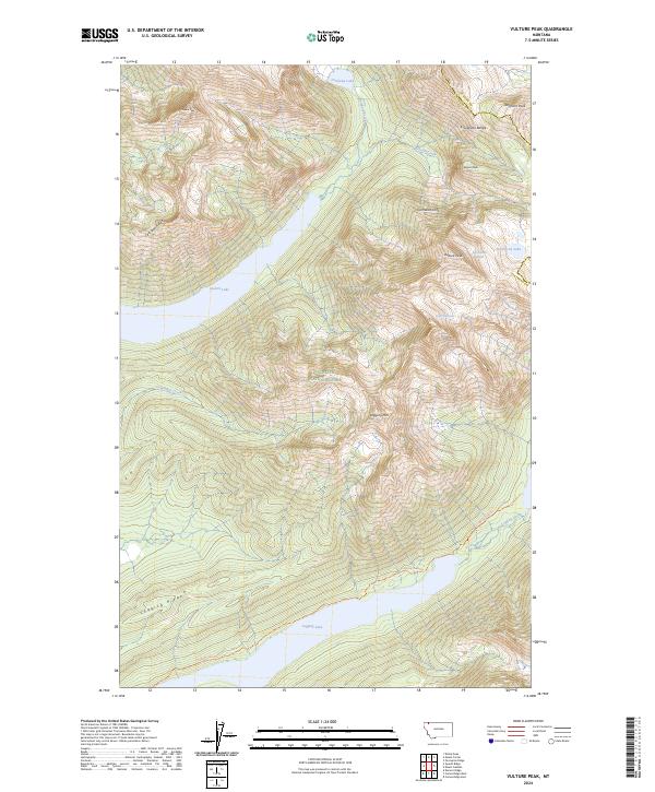
2024 Map of Vulture Peak
USGS Topo · Published 2024About this map
Glacier National Park dominates this high-altitude landscape along the border of Flathead and Glacier counties. The sheet highlights the massive presence of the Livingston Range, where remnants of the ice age persist at Vulture Glacier and Two Ocean Glacier. Below these frozen heights, the topography drops sharply toward water-filled basins, notably Quartz Lake and Logging Lake, which are fed by mountain drainages like Rainbow Creek and Cummings Creek.
Find a feature on this map
27 named features on this map. Tap any name to fly to it.
Don’t see what you’re looking for? This feature index may not catch every label — zoom into the map to look around manually.
Map Details
Editions of this 2024 Vulture Peak Map
This is the sole edition of this map. No revisions or reprints were ever made.
Other maps of this area

1904 · Chief Mountain
USGS Topo · 1:125,000

1906 · Kintla Lakes
USGS Topo · 1:125,000

1938 · Chief Mountain
USGS Topo · 1:125,000

1938 · Kintla Lakes
USGS Topo · 1:125,000

1957 · Kalispell
USGS Topo · 1:250,000

1960 · Kalispell
USGS Topo · 1:250,000

1960 · Cut Bank
USGS Topo · 1:250,000

1961 · Kalispell
USGS Topo · 1:250,000

1963 · Cut Bank
USGS Topo · 1:250,000

1964 · Cut Bank
USGS Topo · 1:250,000