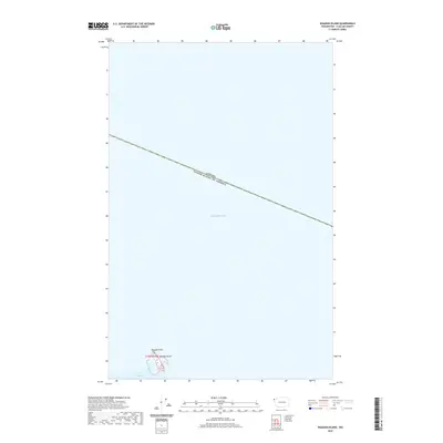
2020 Map of Waadah Island
USGS Topo · Published 2020About this map
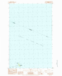
The maritime boundary between Canada and the United States bisects the open waters of the Salish Sea in this 2020 survey of the far northwestern corner of the Olympic Peninsula vicinity. The most prominent land feature is Waadah Island, a small landmass situated just off Waadah Point. The map provides a detailed view of the approach to Neah Bay, documenting the transition from open sea to the sheltered waters of the coastal inlet. Because the majority of the area is maritime, the survey serves primarily to delineate the international border and the specific shoreline coordinates of the island and point during the early 21st century.
Find a feature on this map
6 named features on this map. Tap any name to fly to it.
Don’t see what you’re looking for? This feature index may not catch every label — zoom into the map to look around manually.
Map Details
Editions of this 2020 Waadah Island Map
This is the sole edition of this map. No revisions or reprints were ever made.
Other maps of this area

1935 · Clallam
USGS Topo · 1:62,500

1938 · Cape Flattery
USGS Topo · 1:62,500

1942 · Clallam
USGS Topo · 1:62,500

1953 · Cape Flattery
USGS Topo · 1:250,000
1957 · Clallam Bay
USGS Topo · 1:62,500
1957 · Cape Flattery
USGS Topo · 1:62,500

1963 · Cape Flattery
USGS Topo · 1:250,000
1984 · Makah Bay
USGS Topo · 1:24,000
1984 · Neah Bay
USGS Topo · 1:24,000
1984 · Waadah Island
USGS Topo · 1:24,000