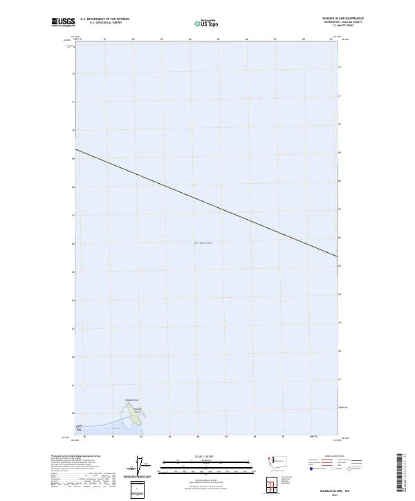
2023 Map of Waadah Island
USGS Topo · Published 2023About this map
Waadah Island and its northern projection, Waadah Point, sit at the entrance to Neah Bay, serving as a critical geographic marker where the harbor meets the open waters of the Salish Sea. This coastal survey documents the precise shoreline and maritime boundaries of this specific landform within t33n r15w. The map illustrates the island's isolation from the mainland, highlighting its role as a natural breakwater for the bay. The surrounding expanse of the Salish Sea dominates the quadrangle, emphasizing the island's strategic position for navigation and local maritime history at the northwestern edge of Washington.
Find a feature on this map
5 named features on this map. Tap any name to fly to it.
Don’t see what you’re looking for? This feature index may not catch every label — zoom into the map to look around manually.
Map Details
Editions of this 2023 Waadah Island Map
This is the sole edition of this map. No revisions or reprints were ever made.
Other maps of this area

1935 · Clallam
USGS Topo · 1:62,500

1938 · Cape Flattery
USGS Topo · 1:62,500

1942 · Clallam
USGS Topo · 1:62,500

1953 · Cape Flattery
USGS Topo · 1:250,000
1957 · Clallam Bay
USGS Topo · 1:62,500
1957 · Cape Flattery
USGS Topo · 1:62,500

1963 · Cape Flattery
USGS Topo · 1:250,000
1984 · Makah Bay
USGS Topo · 1:24,000
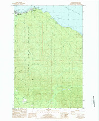
1984 · Neah Bay
USGS Topo · 1:24,000
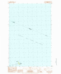
1984 · Waadah Island
USGS Topo · 1:24,000