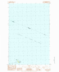
1984 Map of Waadah Island
USGS Topo · Published 1984About this map
Strait of Juan de Fuca dominates this maritime survey, illustrating the international boundary between Canada and the United States where British Columbia and Washington meet. At the southern edge of the sheet, the geography transitions into the sheltered waters of Neah Bay, protected by a significant Breakwater that extends toward the rocky outcrops of Waadah Island. This area serves as a critical navigational and administrative point, anchored by the US Coast Guard Reservation. The map provides specific maritime details including a Light for navigation and a site marked Graves on the island, reflecting the area's history as a sentinel at the entrance to the inland waters of the Pacific Northwest.
Find a feature on this map
13 named features on this map. Tap any name to fly to it.
Don’t see what you’re looking for? This feature index may not catch every label — zoom into the map to look around manually.
Map Details
Editions of this 1984 Waadah Island Map
This is the sole edition of this map. No revisions or reprints were ever made.
Other maps of this area

1935 · Clallam
USGS Topo · 1:62,500

1938 · Cape Flattery
USGS Topo · 1:62,500

1942 · Clallam
USGS Topo · 1:62,500

1953 · Cape Flattery
USGS Topo · 1:250,000
1957 · Clallam Bay
USGS Topo · 1:62,500
1957 · Cape Flattery
USGS Topo · 1:62,500

1963 · Cape Flattery
USGS Topo · 1:250,000
1984 · Makah Bay
USGS Topo · 1:24,000
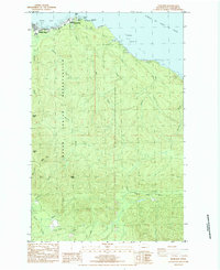
1984 · Neah Bay
USGS Topo · 1:24,000
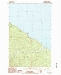
1984 · Sekiu River
USGS Topo · 1:24,000