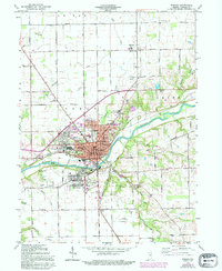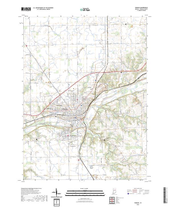
2022 Map of Wabash
USGS Topo · Published 2022About this map
The Wabash River forms the central corridor for development in this part of north-central Indiana, where the city of Wabash and its outlying neighborhoods like Sunnymede and Valley Brook are situated. The landscape is defined by the convergence of several waterways including Treaty Cr, Charley Cr, and Ross Run, illustrating how early settlement was shaped by the local drainage basins. For genealogists and local historians, the sheet is dense with specific burial sites ranging from the Rodef Sholem Cem and Friends Cem to the modern Memorial Lawns Cem. Transportation history is visible through the Norfolk Southern rail line and the Wabash Riverwalk Trl, while the Wabash Municipal Airport to the south marks the modern footprint of the region.
Find a feature on this map
104 named features on this map. Tap any name to fly to it.
Don’t see what you’re looking for? This feature index may not catch every label — zoom into the map to look around manually.
Map Details
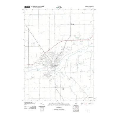
Editions of this 2022 Wabash Map
This is the sole edition of this map. No revisions or reprints were ever made.
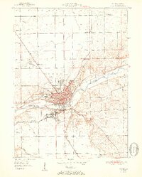
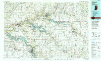
Historical Maps of Wabash Through Time
8 maps found