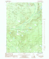
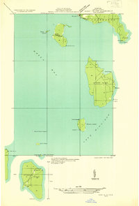
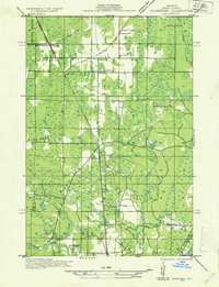
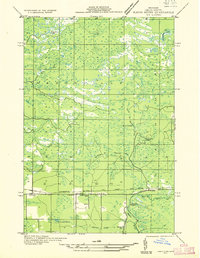
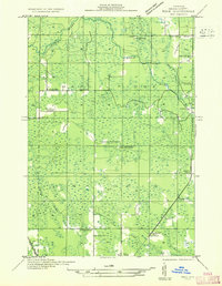
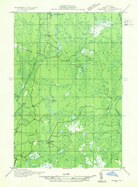
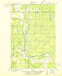
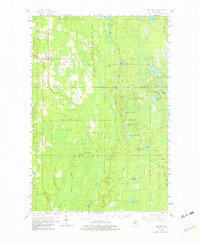
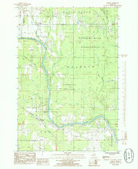
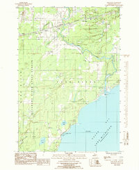
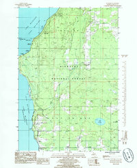
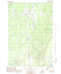
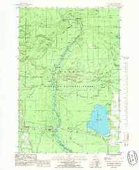
1985 Map of Waco Lake
USGS Topo · Published 1985This historical map portrays the area of Waco Lake in 1985, primarily covering Delta County. Featuring a scale of 1:24000, this map provides a highly detailed snapshot of the terrain, roads, buildings, counties, and historical landmarks in the Waco Lake region at the time. Published in 1985, it is the sole known edition of this map.
Find a feature on this map
24 named features on this map. Tap any name to fly to it.
Don’t see what you’re looking for? This feature index may not catch every label — zoom into the map to look around manually.
Map Details
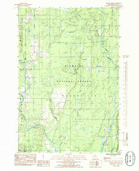
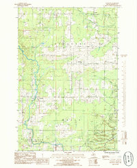
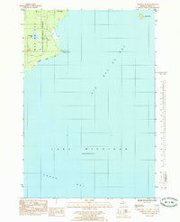
Editions of this 1985 Waco Lake Map
This is the sole edition of this map. No revisions or reprints were ever made.
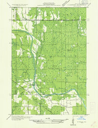
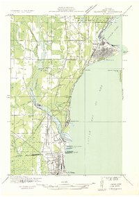
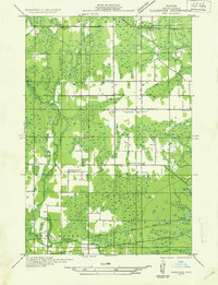
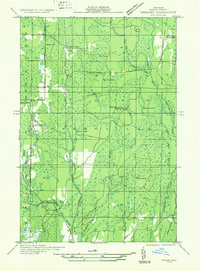
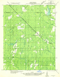
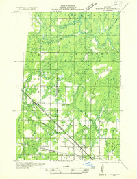
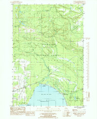
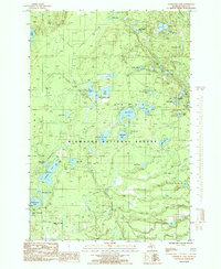
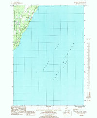
Historical Maps of Nahma Township Through Time
53 maps found
1932 Bark River NE
Delta County, MI
1932 Burnt Bluff NE
Delta County, MI
1932 Burnt Bluff NW
Delta County, MI
1932 Burnt Bluff SW
Delta County, MI
1932 Garden NE
Delta County, MI
1932 Garden NW and SW
Delta County, MI
1932 Garden SE
Delta County, MI
1932 Gladstone NE
Delta County, MI
1932 Gladstone NW
Delta County, MI
1932 Gladstone SE
Delta County, MI
1932 Gladstone SW
Delta County, MI
1932 Rapid River NE
Delta County, MI
1932 Rapid River NW
Delta County, MI
1932 Rapid River SE
Delta County, MI
1932 Rapid River SW
Delta County, MI
1932 Rock SE
Delta County, MI
1932 Rock SW
Delta County, MI
1932 Skeels Lake NW and SW
Delta County, MI
1932 Skeels Lake SE
Delta County, MI
1932 Trenary SE
Delta County, MI
1932 Trenary SW
Delta County, MI
1932 Whitney NE
Delta County, MI
1932 Whitney SE
Delta County, MI
1950 Gladstone NW
Delta County, MI
1958 Corner Lake
Delta County, MI
1958 Fairport
Delta County, MI
1958 Peninsula Point
Delta County, MI
1958 Trenary
Delta County, MI
1985 Baker Creek
Delta County, MI
1985 Chandler
Delta County, MI
1985 Chippewa Point
Delta County, MI
1985 Cornell
Delta County, MI
1985 Devils Corner
Delta County, MI

1985 Ensign
Delta County, MI
1985 Fairport
Delta County, MI
1985 Fayette
Delta County, MI
1985 Ford River
Delta County, MI
1985 Garden Corners
Delta County, MI
1985 Gooseneck Lake
Delta County, MI
1985 Henderson Lakes
Delta County, MI
1985 Maywood
Delta County, MI
1985 Nahma
Delta County, MI
1985 Ogontz
Delta County, MI
1985 Peninsula Point
Delta County, MI
1985 Perkins
Delta County, MI
1985 Point Detour
Delta County, MI
1985 Poplar Lake
Delta County, MI
1985 Rock SE
Delta County, MI
1985 St. Jacques
Delta County, MI
1985 Waco Lake
Delta County, MI
1989 Bark River
Delta County, MI
1989 Schaffer
Delta County, MI
1989 Woodlawn
Delta County, MI