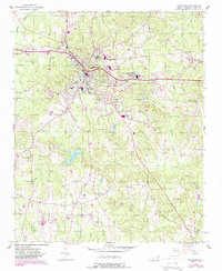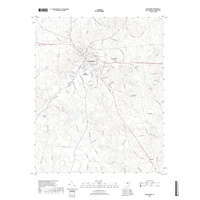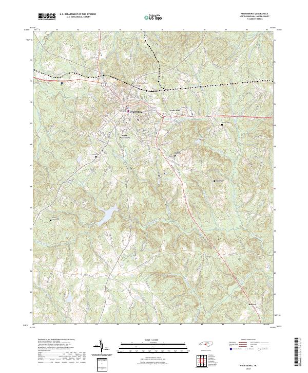
2002 Map of Wadesboro
USGS Topo · Published 2003About this map
Wadesboro serves as the focal point of this Anson County landscape, which transitions from the urbanized hub of the county seat to the winding creek systems of the North Carolina Piedmont. The map highlights the town's expansion toward South Wadesboro and Wade Mills, while the outlying areas are defined by a network of rural congregations such as Hanna Ch, Pleasant Hill Ch, and Bethel Ch. These churches, often paired with community cemeteries like East View Cem, indicate the historical social structure of the region's farming and milling districts.
Find a feature on this map
38 named features on this map. Tap any name to fly to it.
Don’t see what you’re looking for? This feature index may not catch every label — zoom into the map to look around manually.
Map Details
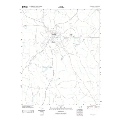
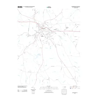
Editions of this 2002 Wadesboro Map
This is the sole edition of this map. No revisions or reprints were ever made.
Historical Maps of Wadesboro Through Time
7 maps found