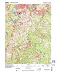
2023 Map of Wadestown
USGS Topo · Published 2023About this map
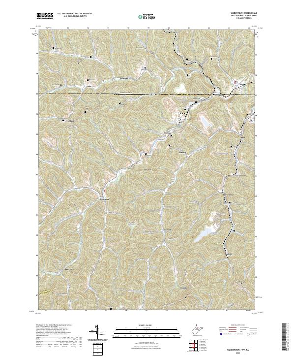
Wadestown and its surrounding communities are documented here in detail, showcasing the complex network of hollows and ridges along the Pennsylvania and West Virginia border. The map reveals a landscape defined by small settlements and numerous family and community burial grounds, such as the Old Mount Tabor Cem and Cumberledge Cem, which are vital for genealogical research in this region of Monongalia and Greene Counties.
Find a feature on this map
102 named features on this map. Tap any name to fly to it.
Don’t see what you’re looking for? This feature index may not catch every label — zoom into the map to look around manually.
Map Details
Editions of this 2023 Wadestown Map
This is the sole edition of this map. No revisions or reprints were ever made.
Historical Maps of Miracle Run Through Time
10 maps found
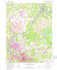
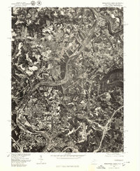
1957 Morgantown North
Monongalia County, WV
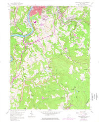
1957 Morgantown South
Monongalia County, WV
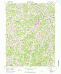
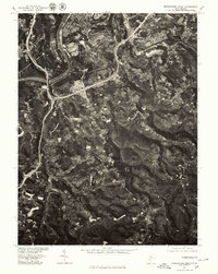
1958 Wadestown
Monongalia County, WV
1976 Morgantown North
Monongalia County, WV
1976 Morgantown South
Monongalia County, WV
1994 Morgantown North
Monongalia County, WV
1997 Morgantown South
Monongalia County, WV
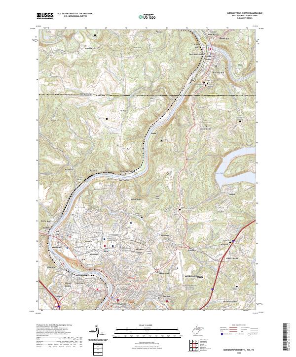
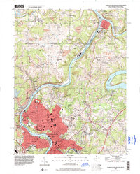
2023 Morgantown North
Monongalia County, WV
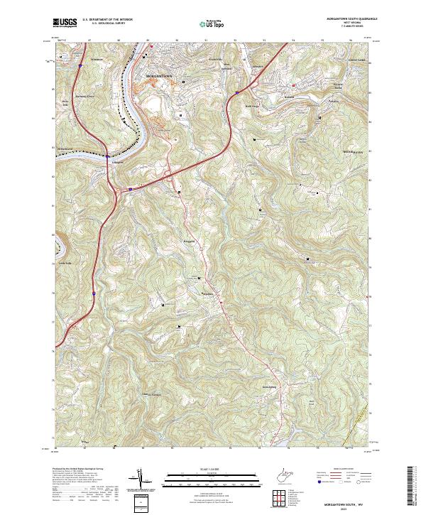
2023 Morgantown South
Monongalia County, WV
2023 Wadestown
Monongalia County, WV