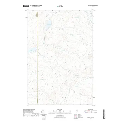
2018 Map of Wadleigh Pond
USGS Topo · Published 2018About this map
The Somerset and Piscataquis county line bisects this remote reach of the Maine North Woods, a landscape defined by an intricate network of waterways including Wadleigh Pond and the smaller Little Wadleigh Pond. The topography is characterized by seasonal brooks and drainage basins that feed into the larger Allagash Stream system. Modern logging and access roads such as Cyr Rd, Cave Rd, and Pingree Rd trace the contours between ridges, providing the only terrestrial routes through this heavily forested area. The map documents the headwaters and tributaries that define the local hydrology, such as S Br Allagash Stream and Wadleigh Stream. Small bodies of water like Saint Francis Lake and Pine Pond are tucked between the hills, while named drainage features like N Br Campbell Brook and Turner Brook illustrate the complex watershed of the Allagash wilderness.
Find a feature on this map
21 named features on this map. Tap any name to fly to it.
Don’t see what you’re looking for? This feature index may not catch every label — zoom into the map to look around manually.
Map Details
Editions of this 2018 Wadleigh Pond Map
This is the sole edition of this map. No revisions or reprints were ever made.
Other maps of this area

1954 · Baker Lake
USGS Topo · 1:62,500

1954 · Caucomgomoc Lake
USGS Topo · 1:62,500

1954 · Allagash Lake
USGS Topo · 1:62,500

1954 · St. John Pond
USGS Topo · 1:62,500

1954 · Presque Isle
USGS Topo · 1:250,000

1958 · Presque Isle
USGS Topo · 1:250,000

1958 · Caucomgomoc Lake
USGS Topo · 1:62,500

1958 · Saint John Pond
USGS Topo · 1:62,500

1960 · Presque Isle
USGS Topo · 1:250,000

1961 · Allagash Lake
USGS Topo · 1:62,500