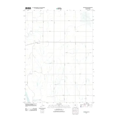
2012 Map of Wagner SW
USGS Topo · Published 2012About this map
Missouri River waters clip the southwestern corner of this landscape, which is defined by the agricultural grid of Charles Mix County. The area is dominated by the drainages of Sevenmile Cr and Mosquito Cr, which flow south through a network of section roads like 295th St and 388th Ave. One of the most significant landmarks for local history is the Cedar Presbyterian Cem, situated along a main east-west route through the township. In the northeastern corner, the map shows a portion of Red Lake, providing a clear view of the wetland and water boundaries as they existed in the early 21st century. The map illustrates the persistent structure of rural South Dakota settlement, where individual homesteads are connected by a precise network of avenues and streets.
Find a feature on this map
20 named features on this map. Tap any name to fly to it.
Don’t see what you’re looking for? This feature index may not catch every label — zoom into the map to look around manually.
Map Details
Editions of this 2012 Wagner SW Map
This is the sole edition of this map. No revisions or reprints were ever made.
Other maps of this area

1955 · Mitchell
USGS Topo · 1:250,000

1955 · O'Neill
USGS Topo · 1:250,000

1959 · O'Neill
USGS Topo · 1:250,000

1959 · Mitchell
USGS Topo · 1:250,000

1964 · Wagner NE
USGS Topo · 1:24,000

1964 · Ravinia
USGS Topo · 1:24,000

1964 · Fort Randall Dam
USGS Topo · 1:24,000

1964 · Gross
USGS Topo · 1:24,000

1964 · Lake Andes
USGS Topo · 1:24,000

1964 · Wagner
USGS Topo · 1:24,000
Featured Places
- White Swan Township, SD
- Plain Center Township, SD
- Plain Center Township, SD
- Charles Mix County, SD
- Gregory County, SD