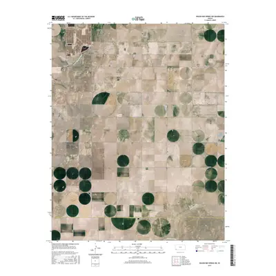
2015 Map of Wagon Bed Spring NW
USGS Topo · Published 2015About this map
The confluence of high-plains watercourses defines this 2015 survey of Sullivan Township, where the N Fork Cimarron River and Sand Arroyo Cr cut across the northwest corner before the main channel of the Cimarron River enters from the southwest. The landscape is marked by the distinct section-line grid of the Public Land Survey System, a pattern etched into the terrain by local roads such as Co RD 19 and Co RD 13 S. A key point of interest for genealogists and local historians is the Golden Cem, which stands as a solitary named landmark among the agricultural tracts of T29S R38W. The southern boundary of the map records the political line between Grant County and Stevens County, illustrating the transition between these two administrative regions of southwest Kansas.
Find a feature on this map
19 named features on this map. Tap any name to fly to it.
Don’t see what you’re looking for? This feature index may not catch every label — zoom into the map to look around manually.
Map Details
Editions of this 2015 Wagon Bed Spring NW Map
This is the sole edition of this map. No revisions or reprints were ever made.
Other maps of this area

1891 · Larned
USGS Topo · 1:125,000

1900 · Syracuse
USGS Topo · 1:125,000

1900 · Lakin
USGS Topo · 1:125,000

1920 · Syracuse
USGS Topo · 1:125,000

1955 · Dodge City
USGS Topo · 1:250,000

1958 · Dodge City
USGS Topo · 1:250,000

1959 · Dodge City
USGS Topo · 1:250,000

1959 · Ulysses
USGS Topo · 1:24,000
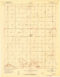
1959 · Big Bow
USGS Topo · 1:24,000
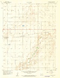
1959 · Ulysses SW
USGS Topo · 1:24,000