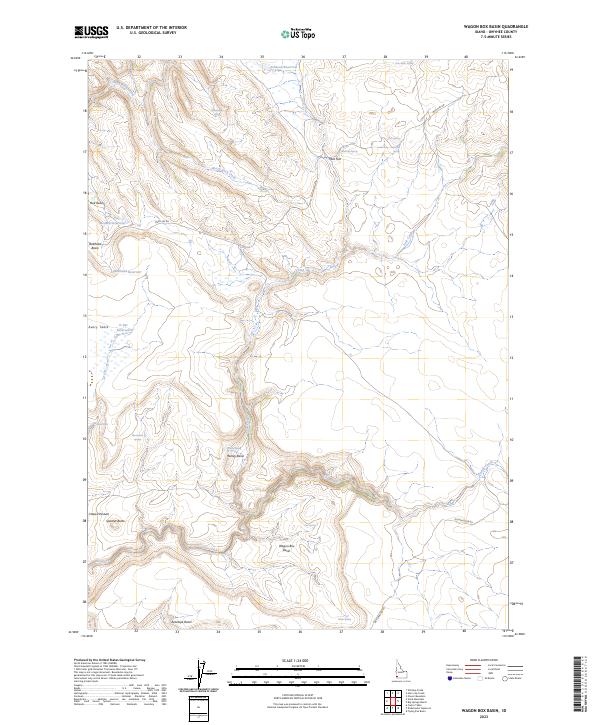
2023 Map of Wagon Box Basin
USGS Topo · Published 2023About this map
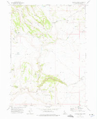
Pole Creek Wilderness occupies the central heart of this high-desert Owyhee County landscape, where the drainage of Pole Creek and Camas Creek carves through volcanic plateaus. The distribution of water sources like Sam Noble Spring, Marmaduke Spring, and Ccc Spring — likely a reference to Civilian Conservation Corps activity — highlights the critical infrastructure required for rangeland management in this arid territory. Man-made catchments such as Bullhead Reservoir and Johnson Reservoir further illustrate how the natural geography has been adapted for livestock and irrigation.
Find a feature on this map
34 named features on this map. Tap any name to fly to it.
Don’t see what you’re looking for? This feature index may not catch every label — zoom into the map to look around manually.
Map Details
Editions of this 2023 Wagon Box Basin Map
This is the sole edition of this map. No revisions or reprints were ever made.
Other maps of this area

1955 · Jordan Valley
USGS Topo · 1:250,000

1957 · Jordan Valley
USGS Topo · 1:250,000

1958 · Jordan Valley
USGS Topo · 1:250,000
1972 · Frying Pan Basin
USGS Topo · 1:24,000
1972 · Big Springs Ranch
USGS Topo · 1:24,000
1972 · Clover Mtn
USGS Topo · 1:24,000
1973 · Wagon Box Basin
USGS Topo · 1:24,000

1973 · Castro Table
USGS Topo · 1:24,000

1973 · Hurry Up Creek
USGS Topo · 1:24,000

1973 · Wickiup Creek
USGS Topo · 1:24,000