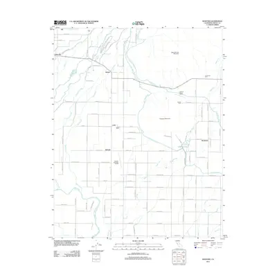
2012 Map of Wahtoke
USGS Topo · Published 2012About this map
The Kings River drainage basin defines this region of eastern Fresno County, where a complex network of irrigation infrastructure supports the local agricultural economy. The Fowler Switch Canal, Friant-Kern Canal, and Alta Main Canal weave through the landscape, feeding the orchards and vineyards that surround settlements like Navelencia and Wahtoke. This 2012 survey illustrates the transition from the flat valley floor to the rising foothills of Jesse Morrow Mountain and Campbell Mountain. Local industry is anchored by the Wahtoke Winery and small aviation hubs such as the Reedley Municipal Airport and Ketscher Ranch Airport. For genealogists, the map identifies family-named holdings like Lassotovitch Ranch and the quiet Acres Cem near the northern boundary, reflecting the deep-rooted rural community life in this portion of the San Joaquin Valley.
Find a feature on this map
75 named features on this map. Tap any name to fly to it.
Don’t see what you’re looking for? This feature index may not catch every label — zoom into the map to look around manually.
Map Details
Editions of this 2012 Wahtoke Map
This is the sole edition of this map. No revisions or reprints were ever made.
Other maps of this area

1920 · Orangedale School
USGS Topo · 1:24,000

1921 · Squaw Valley
USGS Topo · 1:31,680

1922 · Round Mountain
USGS Topo · 1:31,680

1922 · Trimmer
USGS Topo · 1:96,000

1923 · Sultana
USGS Topo · 1:31,680

1923 · Orangedale School
USGS Topo · 1:31,680

1923 · Wahtoke
USGS Topo · 1:31,680

1923 · Sanger
USGS Topo · 1:31,680

1924 · Reedley
USGS Topo · 1:31,680

1924 · Selma
USGS Topo · 1:31,680