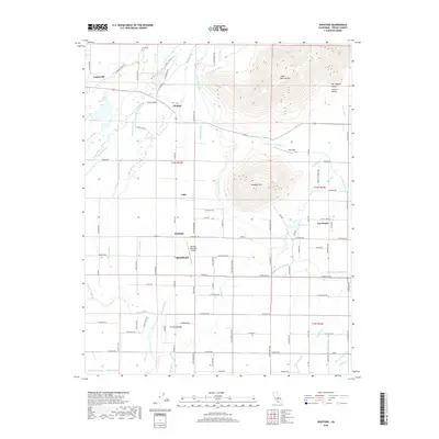
2018 Map of Wahtoke
USGS Topo · Published 2018About this map
The Kings River flows through this portion of the Central Valley, defining a landscape where intensive irrigation infrastructure meets the rising foothills of the Sierra Nevada. High points like Jesse Morrow Mtn and Campbell Mtn overlook a meticulously gridded agricultural corridor punctuated by the Friant-Kern Canal and numerous smaller waterworks like the Alta Main Canal and Hanke Ditch. These systems sustain the citrus and stone fruit heartland surrounding Reedley, Wahtoke, and Navelencia.
Find a feature on this map
93 named features on this map. Tap any name to fly to it.
Don’t see what you’re looking for? This feature index may not catch every label — zoom into the map to look around manually.
Map Details
Editions of this 2018 Wahtoke Map
This is the sole edition of this map. No revisions or reprints were ever made.
Other maps of this area

1920 · Orangedale School
USGS Topo · 1:24,000

1921 · Squaw Valley
USGS Topo · 1:31,680

1922 · Round Mountain
USGS Topo · 1:31,680

1922 · Trimmer
USGS Topo · 1:96,000

1923 · Sultana
USGS Topo · 1:31,680

1923 · Orangedale School
USGS Topo · 1:31,680

1923 · Wahtoke
USGS Topo · 1:31,680

1923 · Sanger
USGS Topo · 1:31,680

1924 · Reedley
USGS Topo · 1:31,680

1924 · Selma
USGS Topo · 1:31,680