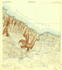
1916 Map of Waipio
USGS Topo · Published 1932About this map
Kohala Mountain dominates this topographical study, where deep ravines like Pololu Valley and Waimanu Valley cut sharply through the northern Hamakua Pali Forest Reserve. The landscape illustrates the early 20th-century intersection of natural geography and industrial engineering, most notably through the Kohala Ditch and its intricate network of intakes designed to move water across the steep terrain.
Find a feature on this map
96 named features on this map. Tap any name to fly to it.
Don’t see what you’re looking for? This feature index may not catch every label — zoom into the map to look around manually.
Map Details
Editions of this 1916 Waipio Map
4 editions found
Other maps of this area

1913 · Kohala
USGS Topo · 1:62,500

1915 · Hamakua
USGS Topo · 1:62,500

1916 · Kohala
USGS Topo · 1:62,500

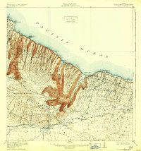
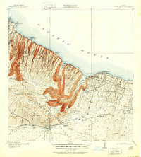
1916 · Waipio
USGS Topo · 1:62,500

1928 · Puako
USGS Topo · 1:62,500

1954 · Hawaii North
USGS Topo · 1:250,000

1956 · Puu Hinai
USGS Topo · 1:24,000

1956 · Kamuela
USGS Topo · 1:24,000

1956 · Nohonaohae
USGS Topo · 1:24,000

1956 · Makahalau
USGS Topo · 1:24,000