
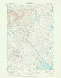
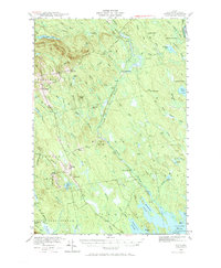
1940 Map of Waite
USGS Topo · Published 1959About this map
The St Croix R forms the international boundary with Canada at the eastern edge of this 1940 survey, a landscape defined by its network of water and timber camps. Small settlements like Waite and Topsfield serve as the primary hubs, while the interior is dotted with remote outposts including Hamilton Camp and Keefe No 2 Camp. This is a land of working farms and managed water, exemplified by Todd Farm and Keeley Farm, as well as the Kennebec Dam on the lower reaches of Tomah Stream. The terrain is marked by prominent elevations like Tomah Mountain and McLain Mtn, which overlook a complex drainage system of brooks and lakes. For the local historian, the map reveals the layout of rural holdings such as the Lamb Place and the scattered camps that supported the region's wilderness economy before the mid-century.
Find a feature on this map
79 named features on this map. Tap any name to fly to it.
Don’t see what you’re looking for? This feature index may not catch every label — zoom into the map to look around manually.
Map Details
Editions of this 1940 Waite Map
3 editions found
Other maps of this area

1929 · Calais
USGS Topo · 1:48,000

1930 · Vanceboro
USGS Topo · 1:48,000

1932 · Calais
USGS Topo · 1:62,500

1933 · Vanceboro
USGS Topo · 1:62,500

1940 · Danforth
USGS Topo · 1:62,500

1940 · Forest
USGS Topo · 1:62,500

1940 · Kellyland
USGS Topo · 1:62,500

1941 · Danforth
USGS Topo · 1:62,500

1941 · Scraggly Lake
USGS Topo · 1:62,500

1941 · Big Lake
USGS Topo · 1:62,500