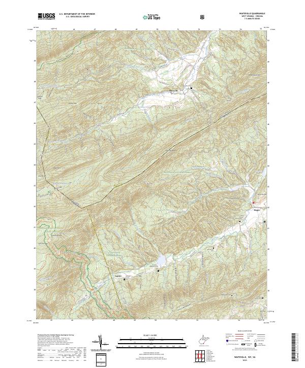
2023 Map of Waiteville
USGS Topo · Published 2023About this map
Potts Mountain and the high ridges of the Jefferson National Forest dominate this borderland where West Virginia meets Virginia. The settlement of Waiteville sits in the valley of South Fork Potts Creek, showing a landscape defined by narrow valley farming and steep timbered slopes. Along the southwestern edge, the Appalachian National Scenic Trail traverses Salt Pond Mtn, while the Mountain Lake Wilderness preserves the undisturbed character of the high country.
Find a feature on this map
87 named features on this map. Tap any name to fly to it.
Don’t see what you’re looking for? This feature index may not catch every label — zoom into the map to look around manually.
Map Details
Editions of this 2023 Waiteville Map
This is the sole edition of this map. No revisions or reprints were ever made.
Other maps of this area

1887 · Hinton
USGS Topo · 1:125,000

1887 · Lewisburg
USGS Topo · 1:125,000

1890 · Dublin
USGS Topo · 1:125,000

1890 · Christiansburg
USGS Topo · 1:125,000

1891 · Lewisburg
USGS Topo · 1:125,000

1891 · Dublin
USGS Topo · 1:125,000

1892 · Hinton
USGS Topo · 1:125,000

1921 · Alderson
USGS Topo · 1:48,000

1921 · Ronceverte
USGS Topo · 1:48,000

1923 · Ronceverte
USGS Topo · 1:62,500