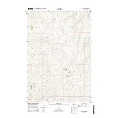
2014 Map of Waitsburg NW
USGS Topo · Published 2014About this map
Lost Springs Ranch sits within the dissected plateau landscape of the Walla Walla and Columbia county line, marking a pocket of settlement in this agricultural and grazing region. The terrain is defined by a series of significant drainage features and named depressions, such as Fields Gulch and Colville Springs Hollow, which reveal the complex hydrology and erosion patterns of the area.
Find a feature on this map
23 named features on this map. Tap any name to fly to it.
Don’t see what you’re looking for? This feature index may not catch every label — zoom into the map to look around manually.
Map Details
Editions of this 2014 Waitsburg NW Map
This is the sole edition of this map. No revisions or reprints were ever made.
Other maps of this area

1919 · Walla Walla
USGS Topo · 1:125,000

1921 · Walla Walla
USGS Topo · 1:125,000

1948 · Starbuck
USGS Topo · 1:62,500

1948 · Ayer
USGS Topo · 1:62,500

1950 · Starbuck
USGS Topo · 1:62,500

1950 · Haas
USGS Topo · 1:62,500

1953 · Walla Walla
USGS Topo · 1:250,000

1958 · Walla Walla
USGS Topo · 1:250,000
1967 · Prescott
USGS Topo · 1:24,000

1967 · Waitsburg NW
USGS Topo · 1:24,000