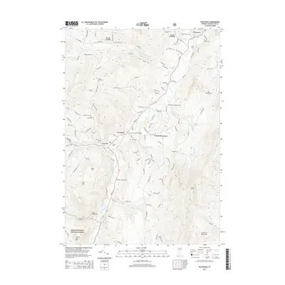
2015 Map of Waitsfield
USGS Topo · Published 2015About this map
The Mad River corridor anchors this portion of Washington County, following a valley where early settlements like Waitsfield, Irasville, and Waitsfield Common established their footings. The presence of both the Pine Brook Covered Bridge and the Great Eddy Covered Bridge highlights the enduring importance of river crossings in the regional transit network. The landscape transitions from these low-lying valley communities into the rising elevations of the Green Mountains and Northfield Mountains, with high points such as Mt Waitsfield and Scrag Mtn framing the horizon.
Find a feature on this map
119 named features on this map. Tap any name to fly to it.
Don’t see what you’re looking for? This feature index may not catch every label — zoom into the map to look around manually.
Map Details
Editions of this 2015 Waitsfield Map
This is the sole edition of this map. No revisions or reprints were ever made.
Other maps of this area

1919 · Lincoln Mountain
USGS Topo · 1:62,500

1919 · Montpelier
USGS Topo · 1:62,500

1920 · Lincoln Mountain
USGS Topo · 1:48,000

1921 · Richmond
USGS Topo · 1:48,000

1921 · Lincoln Mountain
USGS Topo · 1:62,500

1921 · Montpelier
USGS Topo · 1:62,500

1922 · Barre
USGS Topo · 1:48,000

1924 · Barre
USGS Topo · 1:62,500

1924 · Camels Hump
USGS Topo · 1:62,500

1944 · Montpelier
USGS Topo · 1:62,500