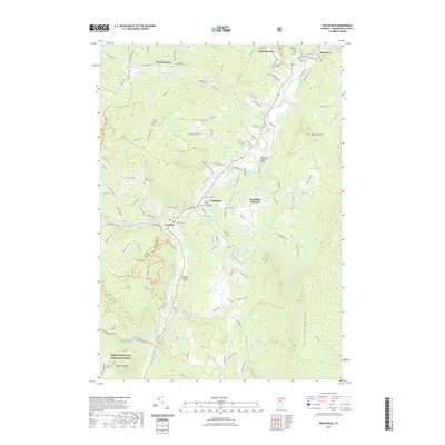
2021 Map of Waitsfield
USGS Topo · Published 2021About this map
Mad River valley life is documented here in the early 2020s, showing a landscape defined by its river-bottom settlements and steep mountain flanks. The town of Waitsfield serves as the central hub, joined by nearby Irasville and the higher-elevation Waitsfield Common. This survey preserves the locations of local landmarks including the Great Eddy Covered Bridge and the Pine Brook Covered Bridge, structural relics of the valley's transit history.
Find a feature on this map
126 named features on this map. Tap any name to fly to it.
Don’t see what you’re looking for? This feature index may not catch every label — zoom into the map to look around manually.
Map Details
Editions of this 2021 Waitsfield Map
This is the sole edition of this map. No revisions or reprints were ever made.
Other maps of this area
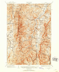
1919 · Lincoln Mountain
USGS Topo · 1:62,500
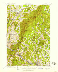
1919 · Montpelier
USGS Topo · 1:62,500
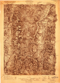
1920 · Lincoln Mountain
USGS Topo · 1:48,000
1921 · Richmond
USGS Topo · 1:48,000
1921 · Lincoln Mountain
USGS Topo · 1:62,500
1921 · Montpelier
USGS Topo · 1:62,500
1922 · Barre
USGS Topo · 1:48,000
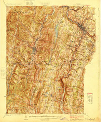
1924 · Barre
USGS Topo · 1:62,500
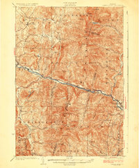
1924 · Camels Hump
USGS Topo · 1:62,500
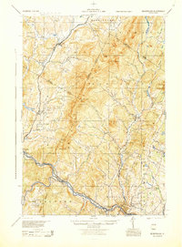
1944 · Montpelier
USGS Topo · 1:62,500