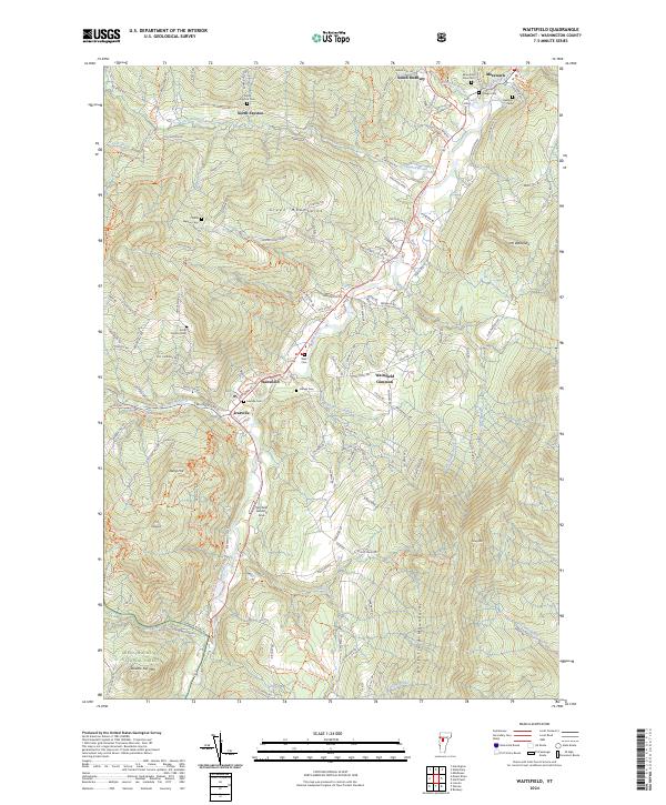
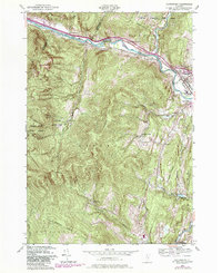
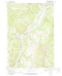
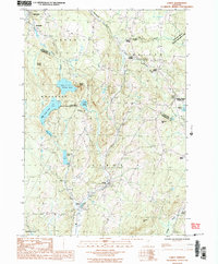
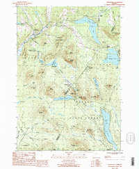
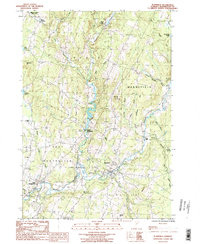
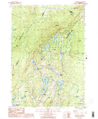
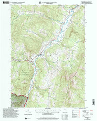
2024 Map of Waitsfield
USGS Topo · Published 2024About this map
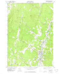
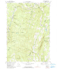
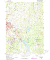
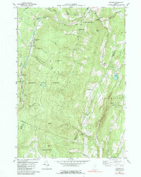
The Mad River carves a central valley through this section of the Green Mountains, anchoring a network of small Vermont settlements and high-elevation terrain. Waitsfield and its adjacent neighbor Irasville serve as the primary hubs, where the valley floor widens to accommodate development between Dana Hill and the Northfield Mountains. The landscape is dotted with several early burial grounds including North Fayston Cem, Wait Cem, and Mountain View Cem, which offer significant value for genealogists tracing local families in the Mad River Valley.
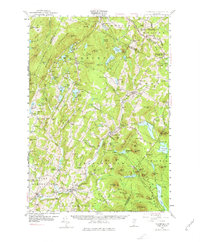
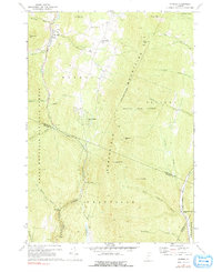
Find a feature on this map
115 named features on this map. Tap any name to fly to it.
Don’t see what you’re looking for? This feature index may not catch every label — zoom into the map to look around manually.
Map Details
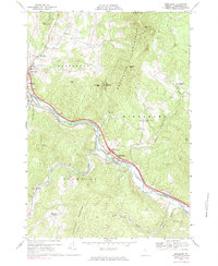
Editions of this 2024 Waitsfield Map
This is the sole edition of this map. No revisions or reprints were ever made.
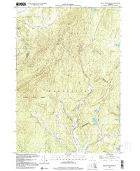
Historical Maps of South Duxbury Through Time
40 maps found
1919 Lincoln Mountain
Washington County, VT

1920 Lincoln Mountain
Washington County, VT
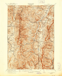
1921 Lincoln Mountain
Washington County, VT

1939 Plainfield
Washington County, VT
1940 Plainfield
Washington County, VT

1943 Plainfield
Washington County, VT
1948 Waterbury
Washington County, VT
1953 Plainfield
Washington County, VT
1968 Middlesex
Washington County, VT
1968 Mount Worcester
Washington County, VT
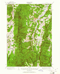
1970 Waitsfield
Washington County, VT
1970 Warren
Washington County, VT
1971 Mount Ellen
Washington County, VT
1978 Barre West
Washington County, VT
1980 Northfield
Washington County, VT
1980 Roxbury
Washington County, VT
1981 Barre East
Washington County, VT
1984 Roxbury
Washington County, VT
1986 Cabot
Washington County, VT
1986 Marshfield
Washington County, VT
1986 Plainfield
Washington County, VT
1986 Woodbury
Washington County, VT

1997 Mount Ellen
Washington County, VT
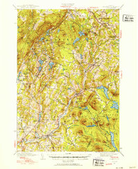
1997 Waitsfield
Washington County, VT

1997 Warren
Washington County, VT
1999 Mount Worcester
Washington County, VT
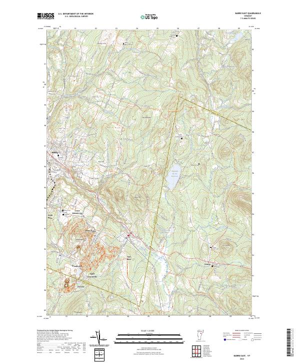
2024 Barre East
Washington County, VT
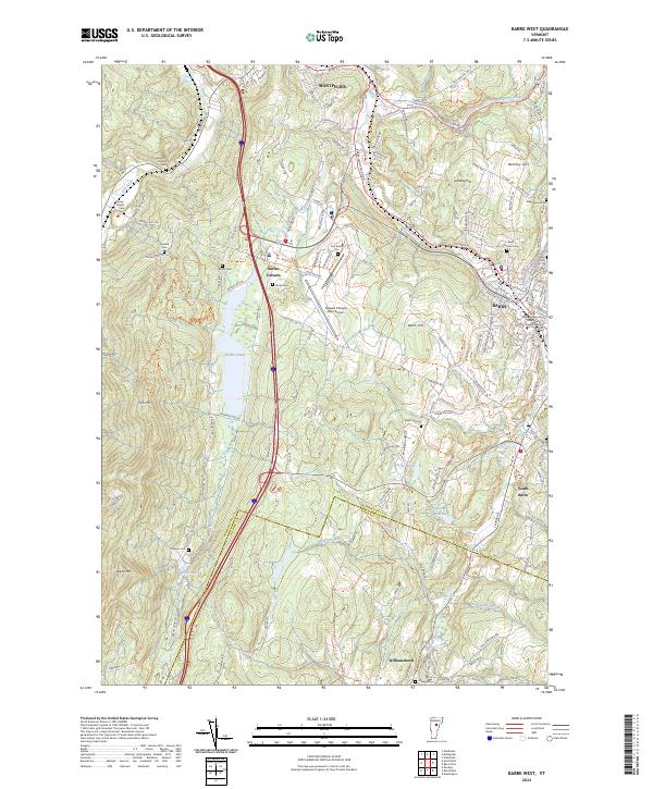
2024 Barre West
Washington County, VT
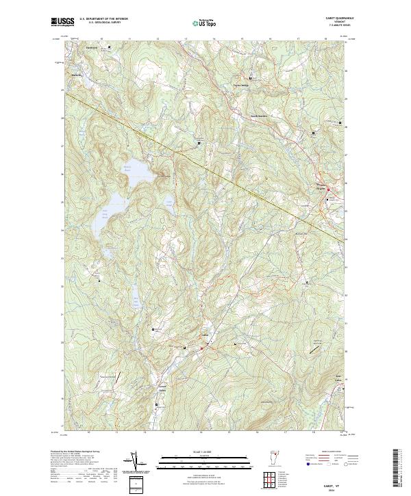
2024 Cabot
Washington County, VT
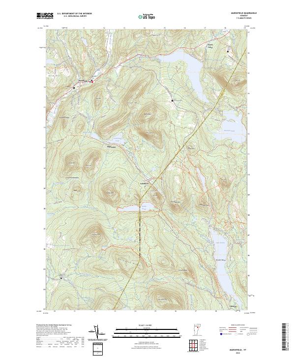
2024 Marshfield
Washington County, VT
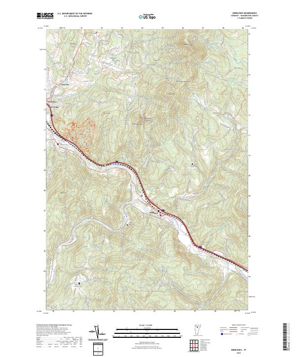
2024 Middlesex
Washington County, VT
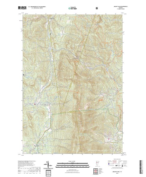
2024 Mount Ellen
Washington County, VT
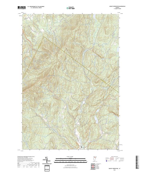
2024 Mount Worcester
Washington County, VT
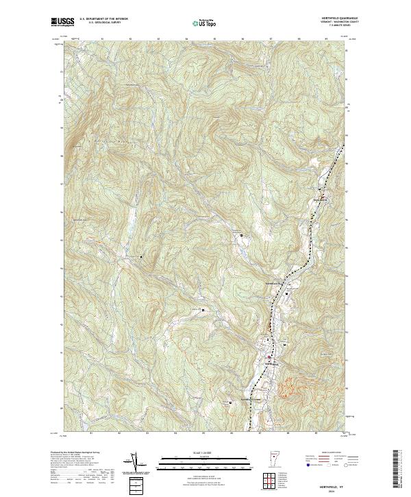
2024 Northfield
Washington County, VT
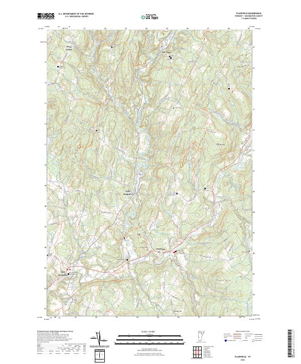
2024 Plainfield
Washington County, VT
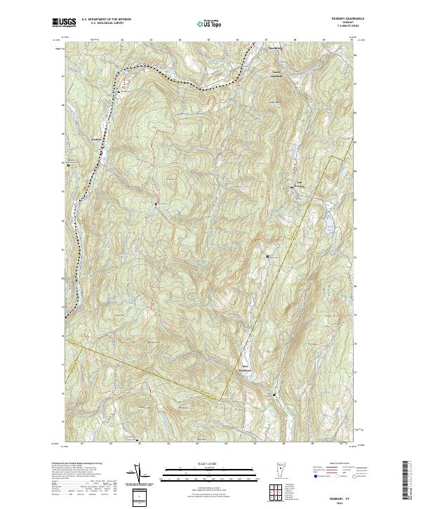
2024 Roxbury
Washington County, VT
2024 Waitsfield
Washington County, VT
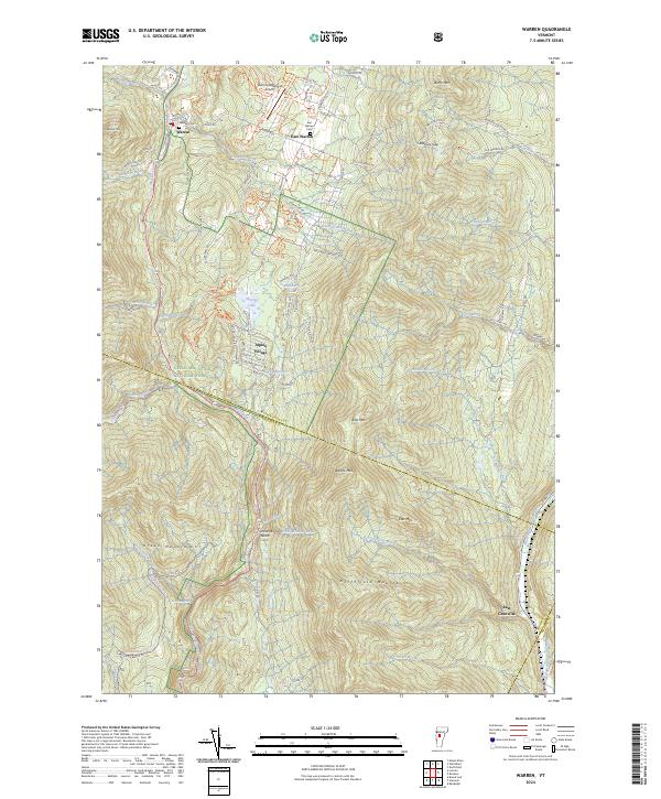
2024 Warren
Washington County, VT
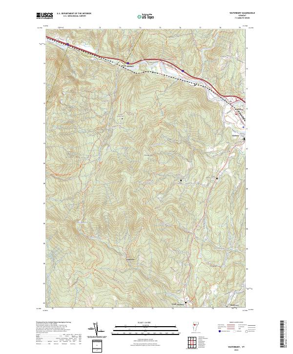
2024 Waterbury
Washington County, VT
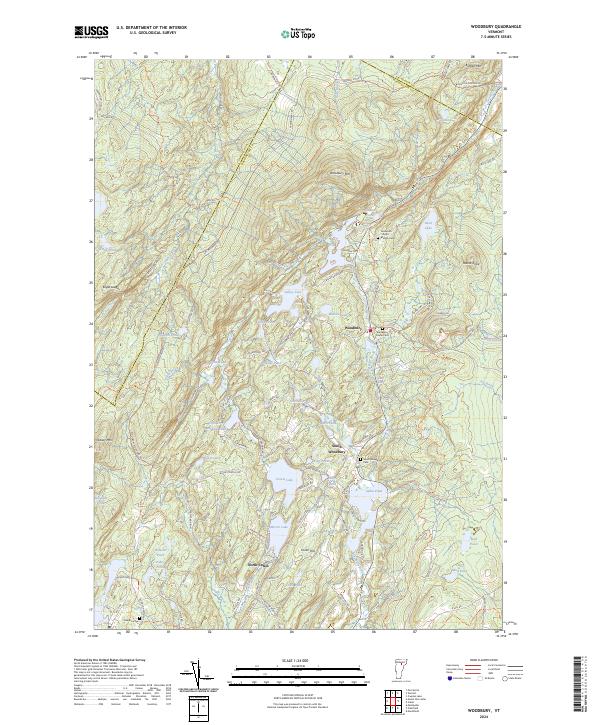
2024 Woodbury
Washington County, VT