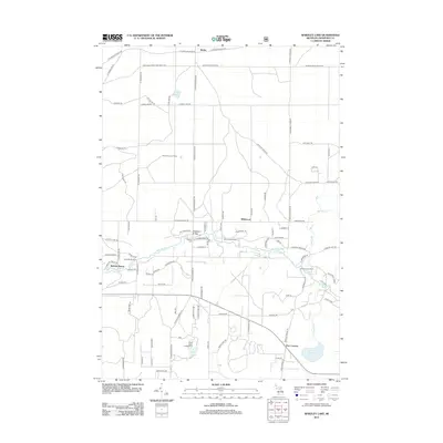
2012 Map of Wakeley Lake
USGS Topo · Published 2012About this map
The Au Sable River winds through this central Michigan landscape, serving as a corridor for recreational camps and small settlements. In the early 21st century, this area of Crawford County remains characterized by its dense network of truck trails and fire roads, including the Bucks E and W Truck Trl and Grayling-Jones Lake Truck Trl. The map documents established institutional sites such as Camp Wa-Wa-Sum, Camp Shoppenagon, and the Camp Ginger Quill near Barker Cr.
Find a feature on this map
101 named features on this map. Tap any name to fly to it.
Don’t see what you’re looking for? This feature index may not catch every label — zoom into the map to look around manually.
Map Details
Editions of this 2012 Wakeley Lake Map
This is the sole edition of this map. No revisions or reprints were ever made.
Other maps of this area

1949 · Lewiston
USGS Topo · 1:62,500

1949 · Otsego Lake
USGS Topo · 1:62,500

1949 · Grayling
USGS Topo · 1:62,500

1950 · Grayling
USGS Topo · 1:24,000

1950 · Lovells
USGS Topo · 1:24,000

1950 · Roscommon North
USGS Topo · 1:24,000

1951 · K P Lake
USGS Topo · 1:24,000

1951 · Big Bradford Lake
USGS Topo · 1:24,000

1951 · Lovells
USGS Topo · 1:24,000

1951 · Wakeley Lake
USGS Topo · 1:24,000