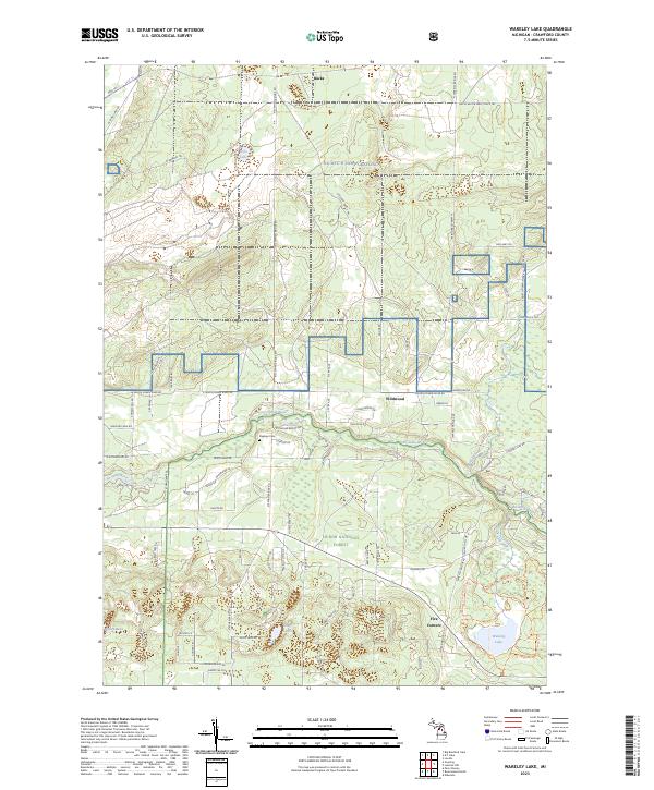
2023 Map of Wakeley Lake
USGS Topo · Published 2023About this map
The Au Sable River winds through this section of Crawford County, carving a path between the northern reaches of the Huron National Forest and the specialized grounds of NG MTC-H Camp Grayling. The landscape is a mosaic of conservation and recreation, notably featuring the Kirtlands Warbler WMA, dedicated to protecting the habitat of its namesake songbird. Small settlements like Bucks, Wildwood, and Five Corners are connected by a network of forest roads and trails, including the aptly named Huckleberry Trl and Artillery Trl.
Find a feature on this map
84 named features on this map. Tap any name to fly to it.
Don’t see what you’re looking for? This feature index may not catch every label — zoom into the map to look around manually.
Map Details
Editions of this 2023 Wakeley Lake Map
This is the sole edition of this map. No revisions or reprints were ever made.
Other maps of this area
1949 · Lewiston
USGS Topo · 1:62,500
1949 · Otsego Lake
USGS Topo · 1:62,500
1949 · Grayling
USGS Topo · 1:62,500
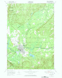
1950 · Grayling
USGS Topo · 1:24,000
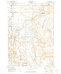
1950 · Lovells
USGS Topo · 1:24,000
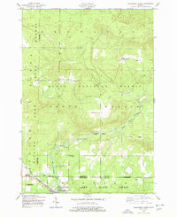
1950 · Roscommon North
USGS Topo · 1:24,000
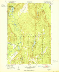
1951 · K P Lake
USGS Topo · 1:24,000
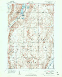
1951 · Big Bradford Lake
USGS Topo · 1:24,000
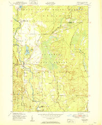
1951 · Lovells
USGS Topo · 1:24,000
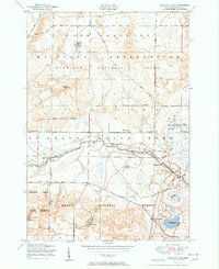
1951 · Wakeley Lake
USGS Topo · 1:24,000