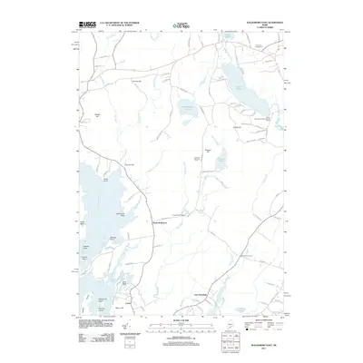
2011 Map of Waldoboro East
USGS Topo · Published 2011About this map
The coastal and inland hydrology of Maine's Midcoast region defines this landscape, where the Medomak River and Back River meet the Atlantic. The terrain is marked by numerous family-named landmarks and small settlements, including South Waldoboro and East Friendship. The abundance of fresh water, from the expansive South Pond and Sidensparker Pond to the smaller Havener Pond, suggests a long history of local water usage and recreation. Navigation of the waterways is punctuated by features like the Goose River Dam and the distinct geography of Boot Neck and Dutch Neck.
Find a feature on this map
95 named features on this map. Tap any name to fly to it.
Don’t see what you’re looking for? This feature index may not catch every label — zoom into the map to look around manually.
Map Details
Editions of this 2011 Waldoboro East Map
This is the sole edition of this map. No revisions or reprints were ever made.
Other maps of this area

1904 · Monhegan
USGS Topo · 1:62,500

1904 · Tenants Harbor
USGS Topo · 1:62,500

1904 · Rockland
USGS Topo · 1:62,500

1906 · Tennant Harbor
USGS Topo · 1:62,500

1906 · Monhegan
USGS Topo · 1:62,500

1906 · Rockland
USGS Topo · 1:62,500

1913 · Waldoboro
USGS Topo · 1:48,000

1915 · Waldoboro
USGS Topo · 1:62,500

1941 · Rockland
USGS Topo · 1:62,500

1941 · Waldoboro
USGS Topo · 1:62,500