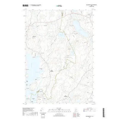
2018 Map of Waldoboro East
USGS Topo · Published 2018About this map
Waldoboro and Warren define the northern limits of this coastal landscape, where the tidal influence of the Medomak River and Back River creates a complex geography of necks and coves. The transition from the inland hills, such as Stahls Hill and Demuth Hill, down to the water is marked by small settlements like South Waldoboro and East Friendship. This area is characterized by its numerous small ponds and drainage systems, including Sidensparker Pond and Havener Pond, which feed into the Goose River.
Find a feature on this map
81 named features on this map. Tap any name to fly to it.
Don’t see what you’re looking for? This feature index may not catch every label — zoom into the map to look around manually.
Map Details
Editions of this 2018 Waldoboro East Map
This is the sole edition of this map. No revisions or reprints were ever made.
Other maps of this area

1904 · Monhegan
USGS Topo · 1:62,500

1904 · Tenants Harbor
USGS Topo · 1:62,500

1904 · Rockland
USGS Topo · 1:62,500

1906 · Tennant Harbor
USGS Topo · 1:62,500

1906 · Monhegan
USGS Topo · 1:62,500

1906 · Rockland
USGS Topo · 1:62,500

1913 · Waldoboro
USGS Topo · 1:48,000

1915 · Waldoboro
USGS Topo · 1:62,500

1941 · Rockland
USGS Topo · 1:62,500

1941 · Waldoboro
USGS Topo · 1:62,500