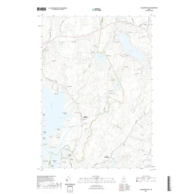
2021 Map of Waldoboro East
USGS Topo · Published 2021About this map
The Medomak River and Goose River systems define this coastal Maine landscape, where the border of Lincoln and Knox counties meets. Small settlements like South Waldoboro, Lawry, and East Friendship are connected by a network of local roads such as Friendship Rd and Cushing Rd. The topography is marked by several prominent rises, including Demuth Hill, Willett Hill, and Thomas Hill, which overlook the surrounding brooks and ponds.
Find a feature on this map
101 named features on this map. Tap any name to fly to it.
Don’t see what you’re looking for? This feature index may not catch every label — zoom into the map to look around manually.
Map Details
Editions of this 2021 Waldoboro East Map
This is the sole edition of this map. No revisions or reprints were ever made.
Other maps of this area

1904 · Monhegan
USGS Topo · 1:62,500

1904 · Tenants Harbor
USGS Topo · 1:62,500

1904 · Rockland
USGS Topo · 1:62,500

1906 · Tennant Harbor
USGS Topo · 1:62,500

1906 · Monhegan
USGS Topo · 1:62,500

1906 · Rockland
USGS Topo · 1:62,500

1913 · Waldoboro
USGS Topo · 1:48,000

1915 · Waldoboro
USGS Topo · 1:62,500

1941 · Rockland
USGS Topo · 1:62,500

1941 · Waldoboro
USGS Topo · 1:62,500