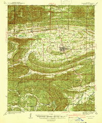
1941 Map of Waldron
USGS Topo · Published 1941About this map
Waldron serves as the focal point of this Scott County landscape, surveyed between 1937 and 1939. This era shows the convergence of the Kansas City Southern Railway and the Southern Railway near the town center, highlighting a period when rail transport was vital to the local timber and agricultural economy. The surrounding terrain is defined by the significant ridges of Poteau Mountain and Brushy Mountain, much of which is managed within the Poteau National Forest and Ouachita National Forest.
Find a feature on this map
87 named features on this map. Tap any name to fly to it.
Don’t see what you’re looking for? This feature index may not catch every label — zoom into the map to look around manually.
Map Details
Editions of this 1941 Waldron Map
This is the sole edition of this map. No revisions or reprints were ever made.
Other maps of this area
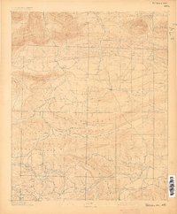
1879 · Poteau Mountain
USGS Topo · 1:62,500
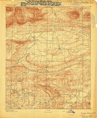
1887 · Poteau Mountain #1
USGS Topo · 1:62,500
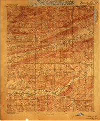
1887 · Mount Ida #2
USGS Topo · 1:62,500
1887 · Magazine Mountain #3
USGS Topo · 1:62,500

1887 · Magazine Mountain
USGS Topo · 1:62,500
1887 · Poteau Mountain #2
USGS Topo · 1:62,500
1887 · Greenwood
USGS Topo · 1:62,500

1890 · Magazine Mountain
USGS Topo · 1:125,000
1890 · Mount Ida
USGS Topo · 1:125,000

1890 · Fort Smith
USGS Topo · 1:125,000