Loading...
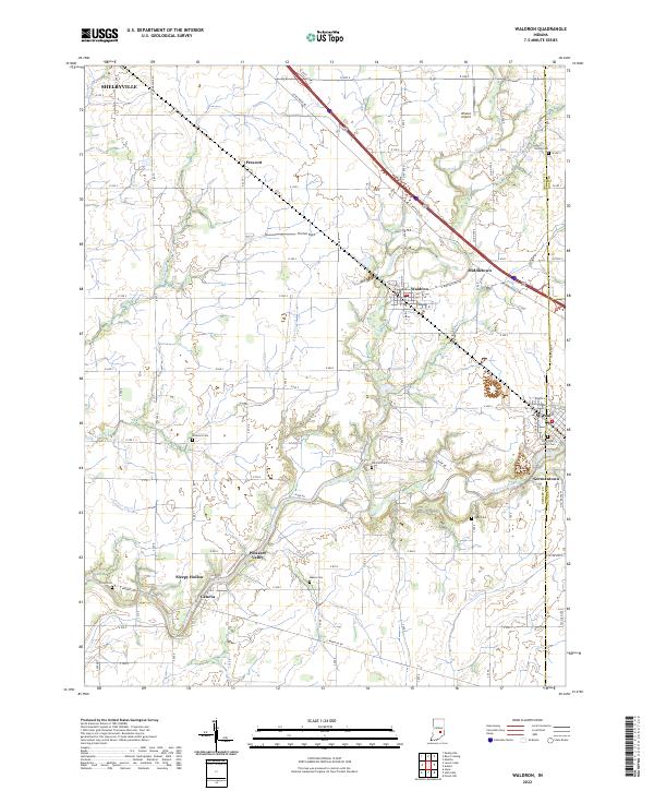
Loading map...2022 Map of Waldron
USGS Topo · Published 2022About this map
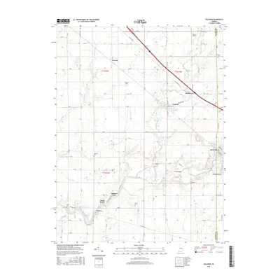
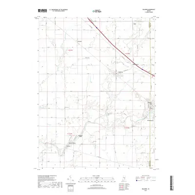
The Flatrock River winds through the southeastern portion of this landscape, carving a path past the established communities of St. Paul and Germantown. This region of Shelby County is defined by its agricultural grid, where numerous family and community burial grounds like Vienna Cem, Simmons Cem, and Means Cem are preserved among the fields. The settlement pattern shows a concentration of activity along E Michigan Rd, connecting the towns of Waldron and Middletown.
Find a feature on this map
82 named features on this map. Tap any name to fly to it.
Don’t see what you’re looking for? This feature index may not catch every label — zoom into the map to look around manually.
Map Details
Date Portrayed2022
Date Published2022
PublisherU.S. Geological Survey
Map TypeTopographic
Scale1:24,000
Physical Dimensions24 x 29 inches
Editions of this 2022 Waldron Map
This is the sole edition of this map. No revisions or reprints were ever made.
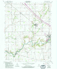
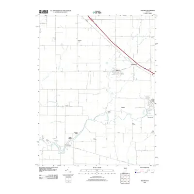
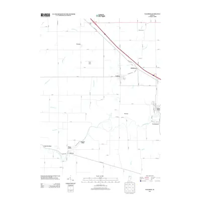
Historical Maps of St. Paul Through Time
6 maps found
Featured Locations
Source Details
SourceU.S. Geological Survey
CopyrightPublic Domain