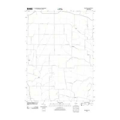
2010 Map of Waldwick
USGS Topo · Published 2010About this map
Otter Creek meanders through the heart of this Iowa County landscape, shaping the rural character of the region. The small settlement of Waldwick sits at the intersection of several local thoroughfares, serving as a quiet focal point for the surrounding agricultural lands. To the south, the community of Fayette borders the edge of the survey, connected by a network of well-established county highways.
Find a feature on this map
34 named features on this map. Tap any name to fly to it.
Don’t see what you’re looking for? This feature index may not catch every label — zoom into the map to look around manually.
Map Details
Editions of this 2010 Waldwick Map
This is the sole edition of this map. No revisions or reprints were ever made.
Other maps of this area

1902 · Mineral Point
USGS Topo · 1:125,000

1923 · Blanchardville
USGS Topo · 1:62,500

1923 · South Wayne
USGS Topo · 1:62,500

1952 · Calamine
USGS Topo · 1:24,000

1952 · Mineral Point
USGS Topo · 1:24,000

1952 · Dodgeville
USGS Topo · 1:24,000

1954 · Rockford
USGS Topo · 1:250,000

1955 · Rockford
USGS Topo · 1:250,000

1958 · Rockford
USGS Topo · 1:250,000

1959 · Dubuque
USGS Topo · 1:250,000