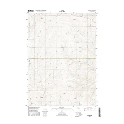
2016 Map of Waldwick
USGS Topo · Published 2016About this map
The Yellowstone River winds through the northern portion of this landscape, marking a terrain defined by the rolling uplands of the Driftless Area. Situated at the border of Iowa and Lafayette counties, this 2016 survey documents a primarily rural and agricultural community centered around the small settlements of Waldwick and Fayette. The map illustrates a grid of section lines and gravel roads that connect long-established farmsteads and local landmarks. Genealogists and local historians can find significant research value in the several cemeteries documented here, including Jackson Cem near the river, Willow Springs Cem to the west, and the aptly named County Line Cem on the county boundary. Several smaller waterways, such as Otter Cr, Canon Cr, and Steiner Br, drain the coulees and valleys, while historic thoroughfares like Fort Defiance Rd and Furnace Hill Rd reflect the region's early frontier and mining heritage.
Find a feature on this map
43 named features on this map. Tap any name to fly to it.
Don’t see what you’re looking for? This feature index may not catch every label — zoom into the map to look around manually.
Map Details
Editions of this 2016 Waldwick Map
This is the sole edition of this map. No revisions or reprints were ever made.
Other maps of this area

1902 · Mineral Point
USGS Topo · 1:125,000

1923 · Blanchardville
USGS Topo · 1:62,500

1923 · South Wayne
USGS Topo · 1:62,500

1952 · Calamine
USGS Topo · 1:24,000

1952 · Mineral Point
USGS Topo · 1:24,000

1952 · Dodgeville
USGS Topo · 1:24,000

1954 · Rockford
USGS Topo · 1:250,000

1955 · Rockford
USGS Topo · 1:250,000

1958 · Rockford
USGS Topo · 1:250,000

1959 · Dubuque
USGS Topo · 1:250,000