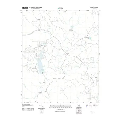
2011 Map of Waleska
USGS Topo · Published 2011About this map
The settlement of Waleska serves as the focal point of this northern Georgia landscape, situated at a junction of roads and ridges. The terrain is defined by a series of prominent elevations including Garland Mountain, Byrd Mountain, and Hickory Log Mountain, which channel numerous waterways through the region. Water management is a significant theme here, evidenced by the infrastructure of the Stamp Shoal Creek Structure Number One Dam and the Lake Arrowhead Dam, creating recreational and utility reservoirs like Lake Arrowhead and Chickasaw Lake.
Find a feature on this map
74 named features on this map. Tap any name to fly to it.
Don’t see what you’re looking for? This feature index may not catch every label — zoom into the map to look around manually.
Map Details
Editions of this 2011 Waleska Map
This is the sole edition of this map. No revisions or reprints were ever made.
Other maps of this area

1890 · Suwanee
USGS Topo · 1:125,000

1890 · Cartersville
USGS Topo · 1:125,000

1891 · Cartersville
USGS Topo · 1:125,000

1894 · Suwanee
USGS Topo · 1:125,000

1896 · Cartersville
USGS Topo · 1:125,000
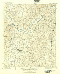
1907 · Acworth
USGS Topo · 1:62,500
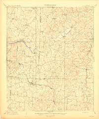
1909 · Acworth
USGS Topo · 1:62,500
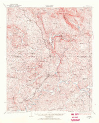
1926 · Tate
USGS Topo · 1:62,500
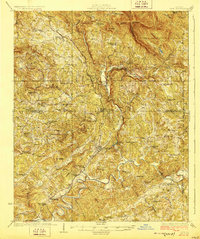
1928 · Tate
USGS Topo · 1:62,500
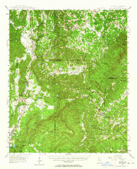
1947 · Waleska
USGS Topo · 1:62,500