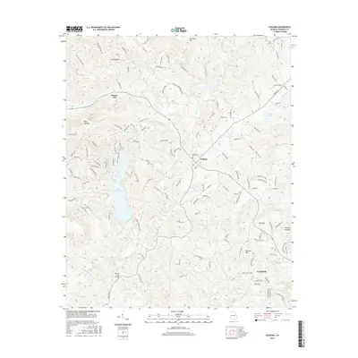
2017 Map of Waleska
USGS Topo · Published 2017About this map
Waleska and the northern outskirts of Canton anchor this 2017 survey of the foothills in Cherokee County. The map is defined by the high ground of the Blue Ridge, featuring prominent peaks like Pine Log Mtn and Garland Mtn, which frame the deep valley of Wiley Cr. The historic presence of Reinhardt Coll in the center of Waleska provides an academic focal point for this rural landscape, while more modern developments are visible in the expansive shoreline of Lake Arrowhead to the west.
Find a feature on this map
142 named features on this map. Tap any name to fly to it.
Don’t see what you’re looking for? This feature index may not catch every label — zoom into the map to look around manually.
Map Details
Editions of this 2017 Waleska Map
This is the sole edition of this map. No revisions or reprints were ever made.
Other maps of this area

1890 · Suwanee
USGS Topo · 1:125,000

1890 · Cartersville
USGS Topo · 1:125,000

1891 · Cartersville
USGS Topo · 1:125,000

1894 · Suwanee
USGS Topo · 1:125,000

1896 · Cartersville
USGS Topo · 1:125,000

1907 · Acworth
USGS Topo · 1:62,500

1909 · Acworth
USGS Topo · 1:62,500

1926 · Tate
USGS Topo · 1:62,500

1928 · Tate
USGS Topo · 1:62,500

1947 · Waleska
USGS Topo · 1:62,500