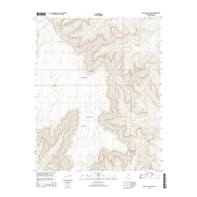
2014 Map of Walhalla Plateau
USGS Topo · Published 2014About this map
Walhalla Plateau rises above the dramatic drainages of the eastern Grand Canyon National Park, defined by its high-altitude topography and ancient archaeological sites. The terrain here transitions from the dense forests of the plateau down into the intricate gorge systems of Kwagunt Canyon and Basalt Canyon. Isolated landmarks like Thor Temple and Venus Temple stand as prominent erosional remnants separated from the main plateau by deep side-canyons.
Find a feature on this map
23 named features on this map. Tap any name to fly to it.
Don’t see what you’re looking for? This feature index may not catch every label — zoom into the map to look around manually.
Map Details
Editions of this 2014 Walhalla Plateau Map
This is the sole edition of this map. No revisions or reprints were ever made.
Other maps of this area

1886 · Echo Cliffs
USGS Topo · 1:250,000

1886 · Kaibab
USGS Topo · 1:250,000

1891 · Echo Cliffs
USGS Topo · 1:250,000

1903 · Bright Angel
USGS Topo · 1:48,000

1906 · Bright Angel
USGS Topo · 1:48,000

1907 · Vishnu
USGS Topo · 1:48,000

1953 · Grand Canyon
USGS Topo · 1:250,000

1954 · Nankoweap
USGS Topo · 1:62,500

1956 · Marble Canyon
USGS Topo · 1:250,000

1957 · Grand Canyon
USGS Topo · 1:250,000