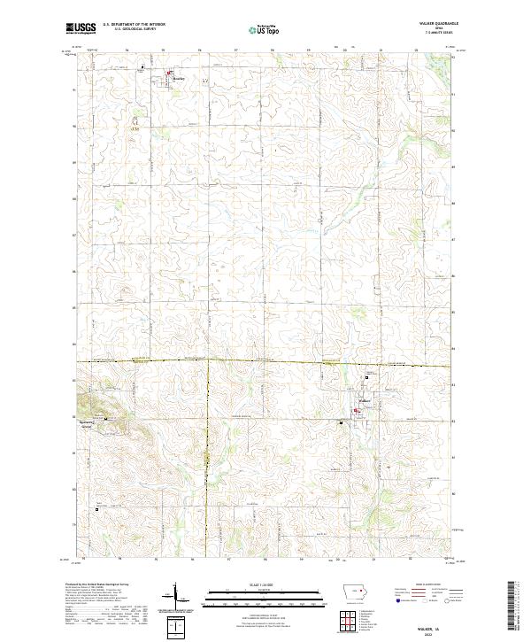
2022 Map of Walker
USGS Topo · Published 2022About this map
Walker and Rowley anchor this agricultural landscape along the intersection of the Linn, Benton, and Buchanan county lines. The area is defined by a dense network of family-named roads and rural infrastructure, including many long-established burial grounds that serve these farming communities. Notable sites for local history include Sacred Heart Cem and Walker Cem near the town of Walker, while Rowley Cem serves the northern settlement.
Find a feature on this map
61 named features on this map. Tap any name to fly to it.
Don’t see what you’re looking for? This feature index may not catch every label — zoom into the map to look around manually.
Map Details
Editions of this 2022 Walker Map
This is the sole edition of this map. No revisions or reprints were ever made.
Other maps of this area

1888 · Shellsburg
USGS Topo · 1:62,500

1888 · Marion
USGS Topo · 1:62,500

1889 · Marion
USGS Topo · 1:62,500

1889 · Shellsburg
USGS Topo · 1:62,500

1899 · Shellsburg
USGS Topo · 1:62,500

1903 · Winthrop
USGS Topo · 1:125,000

1959 · Dubuque
USGS Topo · 1:250,000

1961 · Dubuque
USGS Topo · 1:250,000

1962 · Dubuque
USGS Topo · 1:250,000
1968 · Lafayette
USGS Topo · 1:24,000