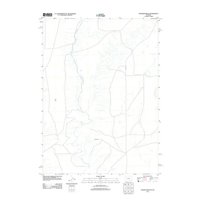
2012 Map of Walker Draw SE
USGS Topo · Published 2012About this map
The Little Medicine Bow River defines the drainage of this portion of Albany County, winding through an arid landscape where large-scale ranching and open space predominate. Private agricultural holdings like the T B Ranch and Griffith Ranch serve as the primary human landmarks in this high-plains environment. The geography is characterized by the broad, level expanse of T B Flat, illustrating the significant open range that has long supported the Wyoming livestock industry. Connectivity in this remote area is provided by Marshall Rd, which traverses the landscape to link these scattered homesteads. The lack of dense settlement or towns underscores the continuity of the region's ranching heritage into the twenty-first century.
Find a feature on this map
5 named features on this map. Tap any name to fly to it.
Don’t see what you’re looking for? This feature index may not catch every label — zoom into the map to look around manually.
Map Details
Editions of this 2012 Walker Draw SE Map
This is the sole edition of this map. No revisions or reprints were ever made.
Other maps of this area

1915 · Como Ridge
USGS Topo · 1:48,000

1918 · Como Ridge
USGS Topo · 1:62,500

1954 · Torrington
USGS Topo · 1:250,000

1954 · Cheyenne
USGS Topo · 1:250,000

1954 · Rawlins
USGS Topo · 1:250,000

1955 · Pine Tree Ridge
USGS Topo · 1:24,000

1955 · Casper
USGS Topo · 1:250,000

1958 · Rawlins
USGS Topo · 1:250,000

1958 · Casper
USGS Topo · 1:250,000

1958 · Cheyenne
USGS Topo · 1:250,000