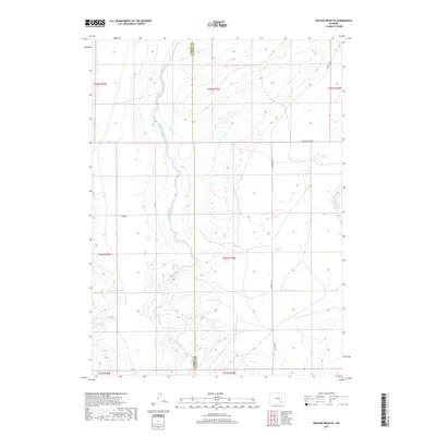
2017 Map of Walker Draw SE
USGS Topo · Published 2017About this map
The meandering course of the Little Medicine Bow River defines this high-plains landscape, carving a winding path through the borderlands of Albany and Carbon Counties. This rural expanse is characterized by the expansive T B Flat, a terrain feature that hosts the T B Ranch, one of the few named landmarks in this sparsely populated region. The map captures the isolation of the Wyoming interior, where the river's hydrology is the primary driver of settlement and land use. Local transit is limited to a handful of thoroughfares, including Marshall Rd and Starting Gate Rd, which connect the remote ranching operations to the wider county. The detailed boundary line between Carbon and Albany counties runs north-to-south, providing a precise record of jurisdictional lines across the open range as they were surveyed in 2017.
Find a feature on this map
13 named features on this map. Tap any name to fly to it.
Don’t see what you’re looking for? This feature index may not catch every label — zoom into the map to look around manually.
Map Details
Editions of this 2017 Walker Draw SE Map
This is the sole edition of this map. No revisions or reprints were ever made.
Other maps of this area

1915 · Como Ridge
USGS Topo · 1:48,000

1918 · Como Ridge
USGS Topo · 1:62,500

1954 · Torrington
USGS Topo · 1:250,000

1954 · Cheyenne
USGS Topo · 1:250,000

1954 · Rawlins
USGS Topo · 1:250,000

1955 · Pine Tree Ridge
USGS Topo · 1:24,000

1955 · Casper
USGS Topo · 1:250,000

1958 · Rawlins
USGS Topo · 1:250,000

1958 · Casper
USGS Topo · 1:250,000

1958 · Cheyenne
USGS Topo · 1:250,000