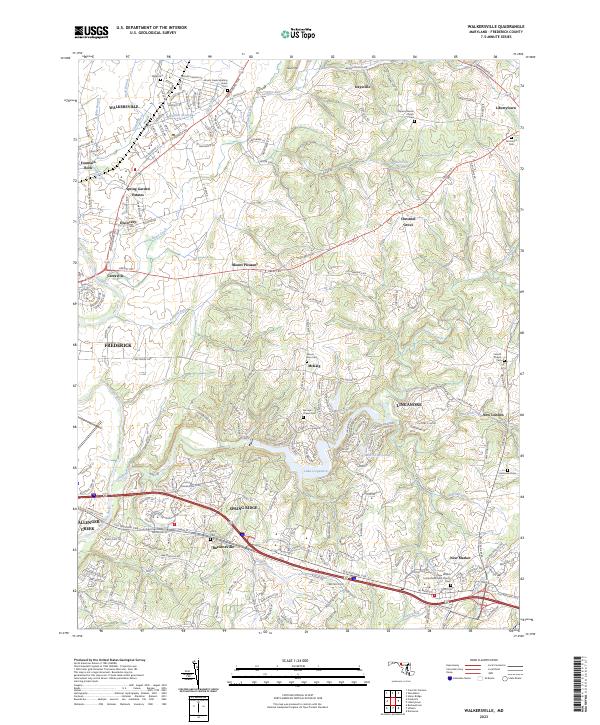
2023 Map of Walkersville
USGS Topo · Published 2023About this map
Walkersville and its surrounding Maryland landscapes exhibit a complex pattern of historic crossroads and modern residential expansion. The area is defined by the Monocacy River and its numerous tributaries, including Glade Creek and Linganore Creek, which have shaped the settlement patterns of towns like Libertytown and New Market. A high concentration of burial grounds, such as Israel's Creek Meeting House Cem and Fairmount Cem, points to the deep generational roots in this part of Frederick County.
Find a feature on this map
60 named features on this map. Tap any name to fly to it.
Don’t see what you’re looking for? This feature index may not catch every label — zoom into the map to look around manually.
Map Details
Editions of this 2023 Walkersville Map
This is the sole edition of this map. No revisions or reprints were ever made.
Other maps of this area

1893 · Frederick
USGS Topo · 1:125,000

1894 · Frederick
USGS Topo · 1:125,000

1908 · Ijamsville
USGS Topo · 1:62,500

1909 · Mount Airy
USGS Topo · 1:62,500

1909 · Ijamsville
USGS Topo · 1:62,500

1911 · Taneytown
USGS Topo · 1:62,500

1911 · Emmitsburg
USGS Topo · 1:62,500

1942 · Frederick
USGS Topo · 1:62,500

1942 · Gettysburg
USGS Topo · 1:125,000

1943 · Emmitsburg
USGS Topo · 1:62,500