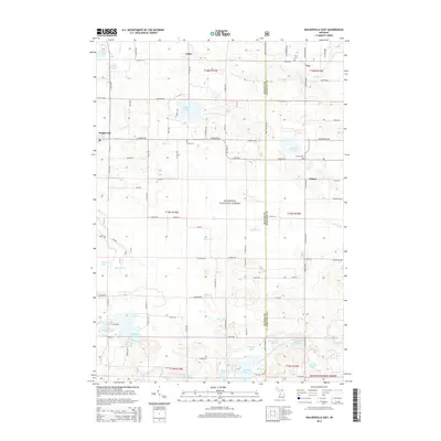
2014 Map of Walkerville East
USGS Topo · Published 2014About this map
Colfax and the eastern edge of Walkerville define the settlement pattern of this West Michigan landscape, where the agricultural grid meets the protected woodlands of the Manistee National Forest. The map reveals a high density of small lakes and wetlands, including Gilbert Lake, Campbell Lake, and Rossel Lake, which are connected by a network of drainage creeks like Freeman Cr and Beaver Cr. This 2014 survey documents the enduring presence of local community landmarks, specifically the Troy Cem, Abson Cem, and Volney Cem, which serve as critical anchors for genealogical research in this rural portion of Oceana and Newaygo counties.
Find a feature on this map
84 named features on this map. Tap any name to fly to it.
Don’t see what you’re looking for? This feature index may not catch every label — zoom into the map to look around manually.
Map Details
Editions of this 2014 Walkerville East Map
This is the sole edition of this map. No revisions or reprints were ever made.
Other maps of this area

1931 · Custer SW
USGS Topo · 1:31,680

1931 · Walkerville NE
USGS Topo · 1:31,680

1931 · Walkerville SW
USGS Topo · 1:31,680

1931 · Walkerville NW
USGS Topo · 1:31,680

1931 · Custer SE
USGS Topo · 1:31,680

1931 · Walkerville SE
USGS Topo · 1:31,680

1954 · Milwaukee
USGS Topo · 1:250,000

1954 · Midland
USGS Topo · 1:250,000

1958 · Midland
USGS Topo · 1:250,000

1958 · Milwaukee
USGS Topo · 1:250,000