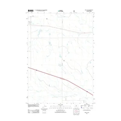
2012 Map of Wall NE
USGS Topo · Published 2012About this map
Mount Hope Cem lies in the northwestern corner of this Pennington County landscape, situated near the intersection of 197th Ave and 223rd St. The geography is defined by a series of intermittent drainage systems, including the branching reaches of Cottonwood Creek and Whitewater Creek, which carve through the plains. Distinctive topographic rises such as Quinn Butte and Street Hill serve as local landmarks in an otherwise open terrain dominated by section-line roads and wide-reaching ranch land. The map's grid of rural routes, including Big Foote Rd and 235th St, illustrates the sparse but organized settlement pattern characteristic of the western South Dakota prairie. Modern infrastructure like Interstate 90 cuts across the northern section, contrasting with the natural winding paths of Lake Creek and Big Foot Creek.
Find a feature on this map
13 named features on this map. Tap any name to fly to it.
Don’t see what you’re looking for? This feature index may not catch every label — zoom into the map to look around manually.
Map Details
Editions of this 2012 Wall NE Map
This is the sole edition of this map. No revisions or reprints were ever made.
Other maps of this area

1953 · Rapid City
USGS Topo · 1:250,000

1954 · Pierre
USGS Topo · 1:250,000

1955 · Hot Springs
USGS Topo · 1:250,000

1955 · Martin
USGS Topo · 1:250,000

1957 · Rapid City
USGS Topo · 1:250,000

1958 · Pierre
USGS Topo · 1:250,000

1958 · Martin
USGS Topo · 1:250,000

1960 · Wall SE
USGS Topo · 1:24,000

1960 · Wall
USGS Topo · 1:24,000

1960 · Cottonwood SW
USGS Topo · 1:24,000