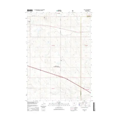
2015 Map of Wall NE
USGS Topo · Published 2015About this map
Quinn sits at the northwestern edge of this 2015 study, marking a pocket of settlement near the intersection of 197th Ave and Pine St. The landscape quickly transitions into the expansive Buffalo Gap National Grassland, where topography is defined by prominent rises like Quinn Butte and Street Hill. This territory, where Pennington, Jackson, and Haakon counties meet, reveals a drainage system of seasonal watercourses including Lake Cr, Cottonwood Cr, and Whitewater Cr. For genealogists and local historians, Mount Hope Cem provides a specific point of interest north of the town site. The map reflects a modern rural infrastructure, with Big Foot Rd cutting a north-south path through the grassland and a major interstate corridor bisecting the southern half of the quadrangle.
Find a feature on this map
23 named features on this map. Tap any name to fly to it.
Don’t see what you’re looking for? This feature index may not catch every label — zoom into the map to look around manually.
Map Details
Editions of this 2015 Wall NE Map
This is the sole edition of this map. No revisions or reprints were ever made.
Other maps of this area

1953 · Rapid City
USGS Topo · 1:250,000

1954 · Pierre
USGS Topo · 1:250,000

1955 · Hot Springs
USGS Topo · 1:250,000

1955 · Martin
USGS Topo · 1:250,000

1957 · Rapid City
USGS Topo · 1:250,000

1958 · Pierre
USGS Topo · 1:250,000

1958 · Martin
USGS Topo · 1:250,000

1960 · Wall SE
USGS Topo · 1:24,000

1960 · Wall
USGS Topo · 1:24,000

1960 · Cottonwood SW
USGS Topo · 1:24,000