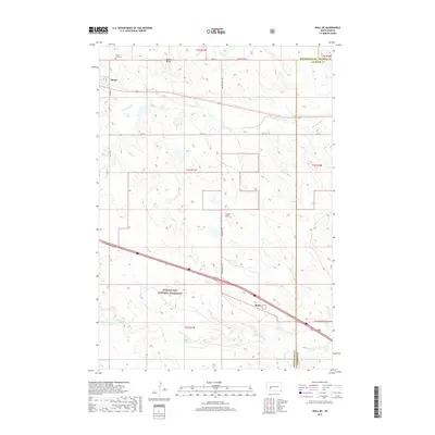
2017 Map of Wall NE
USGS Topo · Published 2017About this map
Quinn anchors the northwest corner of this West River landscape, where the prairie begins to transition toward the more complex topography of the Badlands. The town is flanked by Mount Hope Cem and the prominent Quinn Butte, serving as a gateway to the southern expanse of the Buffalo Gap National Grassland. This 2017 survey reveals a network of section-line roads and named routes like Big Foot Pass Rd and Big Foote Rd that traverse the high plains. A series of intermittent drainages, including Cottonwood Cr, Whitewater Cr, and Big Foot Cr, carve the terrain around landmarks like Street Hill. The map meticulously documents the transition from Pennington County into Jackson County, illustrating the vast open grazing lands and sparse settlement characteristic of this part of South Dakota.
Find a feature on this map
22 named features on this map. Tap any name to fly to it.
Don’t see what you’re looking for? This feature index may not catch every label — zoom into the map to look around manually.
Map Details
Editions of this 2017 Wall NE Map
This is the sole edition of this map. No revisions or reprints were ever made.
Other maps of this area

1953 · Rapid City
USGS Topo · 1:250,000

1954 · Pierre
USGS Topo · 1:250,000

1955 · Hot Springs
USGS Topo · 1:250,000

1955 · Martin
USGS Topo · 1:250,000

1957 · Rapid City
USGS Topo · 1:250,000

1958 · Pierre
USGS Topo · 1:250,000

1958 · Martin
USGS Topo · 1:250,000

1960 · Wall SE
USGS Topo · 1:24,000

1960 · Wall
USGS Topo · 1:24,000

1960 · Cottonwood SW
USGS Topo · 1:24,000