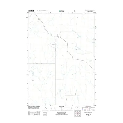
2012 Map of Wall SW
USGS Topo · Published 2012About this map
The Pinnacles and Dillon Pass anchor this Pennington County landscape, where the sharp verticality of the terrain transitions into the wide expanse of the Conata Basin. This 2012 USGS survey details a region shaped by sparse water resources and seasonal drainages like Sage Cr and Kimball Cr. The network of unpaved access routes, including Rim Rd and Conata Basin Rd, reflects the area's primary use for recreation and land management, centered around sites such as the Dillon Campground and Conata Picnic Ground.
Find a feature on this map
12 named features on this map. Tap any name to fly to it.
Don’t see what you’re looking for? This feature index may not catch every label — zoom into the map to look around manually.
Map Details
Editions of this 2012 Wall SW Map
This is the sole edition of this map. No revisions or reprints were ever made.
Other maps of this area

1950 · Conata
USGS Topo · 1:24,000

1950 · Bouquet Table
USGS Topo · 1:24,000

1952 · Conata NE
USGS Topo · 1:24,000

1952 · Bouquet Table
USGS Topo · 1:24,000

1952 · Conata
USGS Topo · 1:24,000

1955 · Hot Springs
USGS Topo · 1:250,000

1960 · Quinn Table NE
USGS Topo · 1:24,000

1960 · Wall SE
USGS Topo · 1:24,000

1960 · Wall
USGS Topo · 1:24,000

1960 · Quinn Table SE
USGS Topo · 1:24,000