
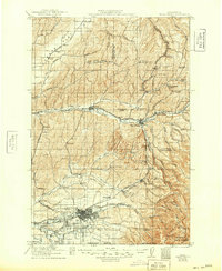
1958 Map of Walla Walla
USGS Topo · Published 1958About this map
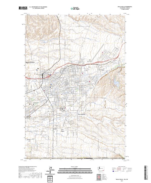
The Hanford Works (AEC) and Richland (AEC) dominate the central landscape of this 1958 survey, representing a significant era of atomic production along the Columbia River. The map meticulously details the surrounding infrastructure required for this growth, including the McNary Reservoir behind the newly completed McNary Dam and the dense rail network of the Northern Pacific and Union Pacific railroads connecting Pasco, Kennewick, and Walla Walla.
Find a feature on this map
202 named features on this map. Tap any name to fly to it.
Don’t see what you’re looking for? This feature index may not catch every label — zoom into the map to look around manually.
Map Details
Editions of this 1958 Walla Walla Map
This is the sole edition of this map. No revisions or reprints were ever made.
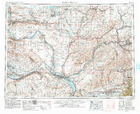
Historical Maps of Windsong Through Time
8 maps found

1919 Walla Walla
Walla Walla County, WA
1921 Walla Walla
Walla Walla County, WA
1953 Walla Walla
Walla Walla County, WA
1958 Walla Walla
Walla Walla County, WA
1966 Walla Walla
Walla Walla County, WA

1980 Walla Walla
Walla Walla County, WA
1998 Walla Walla
Walla Walla County, WA
2023 Walla Walla
Walla Walla County, WA