2024 Map of Wallace
USGS Topo · Published 2024About this map
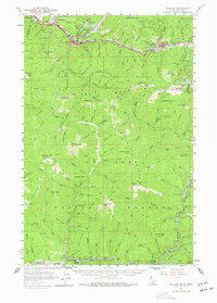
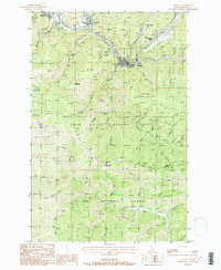
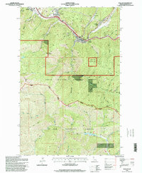
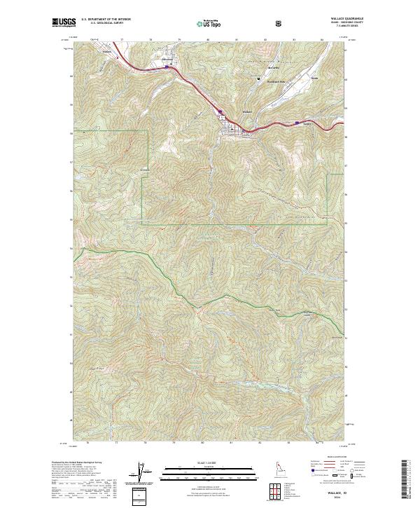
Wallace serves as the focal point of this mountain landscape, centered at the confluence of Ninemile Creek and Canyon Creek with the South Fork Coeur d'Alene River. The town's grid is dense with local history, featuring the County Courthouse and historic street names like Bank ST, Pearl ST, and High ST. This canyon-floor settlement pattern is characteristic of the region's mining heritage, where towns like Silverton, Osburn, and Woodland Park cling to narrow valley floors between the steep slopes of the Coeur d'Alene Mountains and the St Joe Mountains. To the south, the map transitions into the deep timber of the Coeur d'Alene National Forest and St Joe National Forest, bisected by the Coeur d'Alene Saint Joe Divide. This area is defined by a network of trails such as the Pulaski Trl and St Joe Divide National Recreation Trl, tracing the high ridges between Mt Pulaski and Moon Peak.
Find a feature on this map
78 named features on this map. Tap any name to fly to it.
Don’t see what you’re looking for? This feature index may not catch every label — zoom into the map to look around manually.
Map Details
Editions of this 2024 Wallace Map
This is the sole edition of this map. No revisions or reprints were ever made.
Historical Maps of McCarthy Through Time
7 maps found