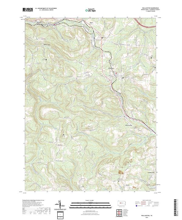
2023 Map of Wallaceton
USGS Topo · Published 2023About this map
The ridge-and-valley topography of central Pennsylvania is deeply inscribed with 19th-century transit routes and rural settlements in this modern study. Wallaceton serves as a central hub, where the Wallaceton Bigler Hwy meets the historic route of the Old Erie Pike. The landscape is defined by its complex drainage network, including the winding course of Morgan Run and Roaring Run, which historically dictated the placement of early mountain roads like Mutton Hollow Rd and Hogback Hill.
Find a feature on this map
101 named features on this map. Tap any name to fly to it.
Don’t see what you’re looking for? This feature index may not catch every label — zoom into the map to look around manually.
Map Details
Editions of this 2023 Wallaceton Map
This is the sole edition of this map. No revisions or reprints were ever made.
Other maps of this area

1903 · Houtzdale
USGS Topo · 1:62,500

1905 · Houtzdale
USGS Topo · 1:62,500

1922 · Philipsburg
USGS Topo · 1:62,500

1929 · Karthaus
USGS Topo · 1:62,500

1929 · Clearfield
USGS Topo · 1:48,000

1932 · Clearfield
USGS Topo · 1:62,500

1932 · Karthaus
USGS Topo · 1:62,500

1939 · Philipsburg
USGS Topo · 1:62,500

1944 · Houtzdale
USGS Topo · 1:24,000
1944 · Glen Richey
USGS Topo · 1:24,000