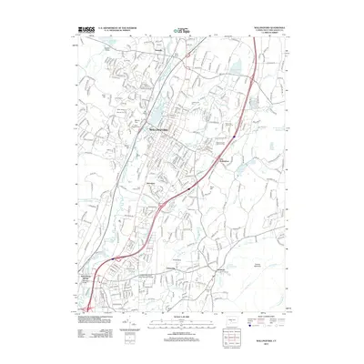
2012 Map of Wallingford
USGS Topo · Published 2012About this map
The Quinnipiac River corridor defines the geography of south central Connecticut, where the dense suburban development of Wallingford meets the industrial and residential corridors of Yalesville and Quinnipiac. This modern survey illustrates the extensive institutional presence in the region, including the Greater New Haven State Technical College and the large campus of the Ashlar Village of the Masonic Charity. Local history is preserved through numerous consecrated spaces like Saint Casimirs Cem and Saints Peter and Paul Cem. The landscape transitions from the developed flats of the river valley toward the prominent elevation of Totoket Mountain in the southeast. Significant water resources, such as the Broad Brook Reservoir and the North Farms Reservoir, are integrated into the modern infrastructure that connects Northford and Clintonville to the larger metropolitan centers.
Find a feature on this map
359 named features on this map. Tap any name to fly to it.
Don’t see what you’re looking for? This feature index may not catch every label — zoom into the map to look around manually.
Map Details
Editions of this 2012 Wallingford Map
This is the sole edition of this map. No revisions or reprints were ever made.
Other maps of this area

1892 · New Haven
USGS Topo · 1:62,500

1892 · Meriden
USGS Topo · 1:62,500

1893 · Guilford
USGS Topo · 1:62,500

1893 · Middletown
USGS Topo · 1:62,500

1893 · Meriden
USGS Topo · 1:62,500

1906 · Farmington
USGS Topo · 1:125,000

1921 · New Haven
USGS Topo · 1:62,500

1928 · Cromwell
USGS Topo · 1:24,000

1943 · Durham
USGS Topo · 1:25,000

1943 · New Haven
USGS Topo · 1:31,680