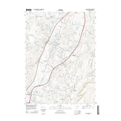
2015 Map of Wallingford
USGS Topo · Published 2015About this map
Wallingford and the Quinnipiac River valley serve as the centerpiece of this 2015 geographic record, showing a landscape defined by industrial corridors and historic residential pockets. The topography is marked by the distinct elevations of Metacomet Ridge and Totoket Mtn, which frame the settled areas of Yalesville and Northford. Numerous burial grounds, including the Masonic Cem, Saint Casimirs Cem, and the historic Old Cem near North Haven, provide essential points of reference for local historians.
Find a feature on this map
79 named features on this map. Tap any name to fly to it.
Don’t see what you’re looking for? This feature index may not catch every label — zoom into the map to look around manually.
Map Details
Editions of this 2015 Wallingford Map
This is the sole edition of this map. No revisions or reprints were ever made.
Other maps of this area

1892 · New Haven
USGS Topo · 1:62,500

1892 · Meriden
USGS Topo · 1:62,500

1893 · Guilford
USGS Topo · 1:62,500

1893 · Middletown
USGS Topo · 1:62,500

1893 · Meriden
USGS Topo · 1:62,500

1906 · Farmington
USGS Topo · 1:125,000

1921 · New Haven
USGS Topo · 1:62,500

1928 · Cromwell
USGS Topo · 1:24,000

1943 · Durham
USGS Topo · 1:25,000

1943 · New Haven
USGS Topo · 1:31,680