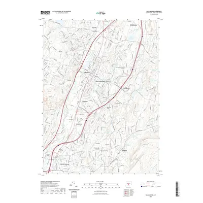
2021 Map of Wallingford
USGS Topo · Published 2021About this map
The Quinnipiac River corridor defines this South Central Connecticut landscape, anchoring a dense network of residential and industrial development between Wallingford Center and North Haven. The map reveals a transition from the urbanized core of Wallingford to the rising elevations of the Metacomet Ridge and Totoket Mtn in the east. Numerous small water bodies, including Simpson Pond and Community Lake, point to the area’s industrial heritage where water power once drove local mills.
Find a feature on this map
58 named features on this map. Tap any name to fly to it.
Don’t see what you’re looking for? This feature index may not catch every label — zoom into the map to look around manually.
Map Details
Editions of this 2021 Wallingford Map
This is the sole edition of this map. No revisions or reprints were ever made.
Other maps of this area

1892 · New Haven
USGS Topo · 1:62,500

1892 · Meriden
USGS Topo · 1:62,500
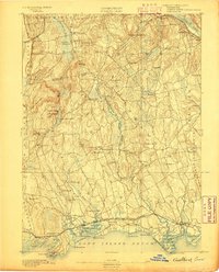
1893 · Guilford
USGS Topo · 1:62,500

1893 · Middletown
USGS Topo · 1:62,500

1893 · Meriden
USGS Topo · 1:62,500

1906 · Farmington
USGS Topo · 1:125,000
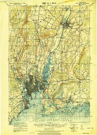
1921 · New Haven
USGS Topo · 1:62,500
1928 · Cromwell
USGS Topo · 1:24,000
1943 · Durham
USGS Topo · 1:25,000
1943 · New Haven
USGS Topo · 1:31,680