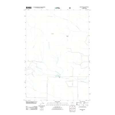
2011 Map of Wallrock
USGS Topo · Published 2011About this map
Wallrock is situated within a high-elevation drainage network in Gallatin County, defined by the headwaters and branches of the Muddy Creek system. The landscape is dominated by the Wallrock Basin, where the North Fork, Middle Fork, and South Fork converge. This area reflects a modern ranching and water-management landscape, anchored by the Kistner Hardy Dam and a series of named rural routes such as Reservior Rd and Keister Hardy Rd. The map illustrates the hydrological importance of this terrain, with Cottonwood Creek flowing through the northern reaches while Rice Creek and Dry Creek carve out the southern and eastern sectors. Human presence is concentrated around these water sources, connected by a network of local roads including Muddy Creek Rd and Jones Rd.
Find a feature on this map
17 named features on this map. Tap any name to fly to it.
Don’t see what you’re looking for? This feature index may not catch every label — zoom into the map to look around manually.
Map Details
Editions of this 2011 Wallrock Map
This is the sole edition of this map. No revisions or reprints were ever made.
Other maps of this area

1886 · Little Belt Mts.
USGS Topo · 1:250,000

1891 · Livingston
USGS Topo · 1:250,000

1893 · Livingston
USGS Topo · 1:250,000

1894 · Little Belt Mts.
USGS Topo · 1:250,000

1897 · Little Belt Mts.
USGS Topo · 1:250,000

1898 · Little Belt Mts.
USGS Topo · 1:250,000

1902 · Little Belt Mts.
USGS Topo · 1:250,000

1947 · Bozeman
USGS Topo · 1:250,000

1948 · Bozeman
USGS Topo · 1:250,000

1948 · White Sulphur Springs
USGS Topo · 1:250,000