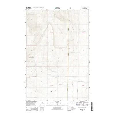
2014 Map of Wallrock
USGS Topo · Published 2014About this map
Sedan and Wallrock anchor this rural landscape along the boundary of Gallatin and Park Counties. The terrain is defined by the high elevations of Elkhorn Ridge and the sheltered Wallrock Basin, where multiple forks of Muddy Cr originate and flow eastward. This area of the Gallatin National Forest shows a clear pattern of land use, with remote roads like Keister Hardy Rd and Jones Rd connecting scattered settlements to the surrounding hills. Evidence of local geography and resource history appears in names like Coal Gulch, while numerous watercourses including Cottonwood Cr and Rice Cr drain the eastern slopes. The map captures the interface between protected forest lands and the small mountain communities that rely on these watersheds.
Find a feature on this map
28 named features on this map. Tap any name to fly to it.
Don’t see what you’re looking for? This feature index may not catch every label — zoom into the map to look around manually.
Map Details
Editions of this 2014 Wallrock Map
This is the sole edition of this map. No revisions or reprints were ever made.
Other maps of this area

1886 · Little Belt Mts.
USGS Topo · 1:250,000

1891 · Livingston
USGS Topo · 1:250,000

1893 · Livingston
USGS Topo · 1:250,000

1894 · Little Belt Mts.
USGS Topo · 1:250,000

1897 · Little Belt Mts.
USGS Topo · 1:250,000

1898 · Little Belt Mts.
USGS Topo · 1:250,000

1902 · Little Belt Mts.
USGS Topo · 1:250,000

1947 · Bozeman
USGS Topo · 1:250,000

1948 · Bozeman
USGS Topo · 1:250,000

1948 · White Sulphur Springs
USGS Topo · 1:250,000